In Germany, the systematic observation, analysis, and prediction of key Earth system components are official responsibilities of specialized governmental agencies. For example, the DWD conducts long-term atmospheric monitoring, while the BGR provides essential geological data. These datasets are used in operational contexts—such as numerical weather prediction or the generation of long-term climatological and geoscientific products. Although highly relevant to Earth System Science (ESS), many of these datasets have historically been difficult to discover and reuse.
Within the Governmental Data measure of NFDI4Earth, we work to improve both the accessibility and usability of government-provided data relevant to ESS. A core element of this effort is active networking: the measure plays a key role in identifying and connecting relevant actors and initiating dialogue across NFDI consortia, governmental authorities, and national coordination bodies—such as the NFDI e. V. and the Federal Competence Center for Open Data (CCOD).
To strengthen this collaboration, we are establishing a bi-directional communication channel between researchers and public authorities, enabling the structured exchange of requirements, feedback, and best practices for working with governmental data.
A key element of this networking strategy is our collaboration with the GDI-DE Coordination Office, hosted at the BKG, which serves as a bridge between federal and state-level geodata infrastructures. GDI-DE has recognized NFDI4Earth as a strategic partner (https://www.gdi-de.org/en/cooperations/science). This partnership helps strengthen cooperation and accelerate the uptake of high-value governmental data across the research community.
Governmental data represents a rich but often underutilized resource for ESS research. Due to its diversity, complexity, and volume, integrating this data into external infrastructures requires a robust and harmonized metadata framework. While various national and European initiatives aim to collect and provide access to governmental data, significant challenges remain in making these resources truly discoverable and usable in scientific contexts.
OneStop4All plays a central role in improving data discovery by offering streamlined access to relevant datasets and their metadata. As an initial use case, data from the DWD is being integrated into the platform and made searchable. This work is closely linked to the development of the Knowledge Hub in Task Areas 2Coordinate (TA4) and 2Interoperate (TA3), which aims to pool and connect datasets while ensuring interoperability with tools and services across NFDI4Earth.
To support consistent integration, the measure focuses on harmonising metadata across catalogues and on developing generalised concepts applicable to a wide range of governmental data relevant to ESS.
In close collaboration with the OneStop4All measure (M2.1), the User Support Network (M2.2), and TA3, we are actively developing targeted improvements for the accessibility and usability of governmental data. Feedback from researchers—gathered through various interaction channels and the use of newly developed data cubes—is systematically analysed to inform this process.
Based on this input, we are formulating recommendations to support standardised workflows and improve data integration practices. Our close involvement in NFDI4Earth activities allows us to draw on the practical experience of governmental research institutions and feed it back into the consortium. In collaboration with other measures, white papers and practical manuals are being produced and made available via OneStop4All for reuse across the community.
Together with other measures, we are producing white papers and practical manuals, which are made available via OneStop4All for reuse across the broader NFDI4Earth community.
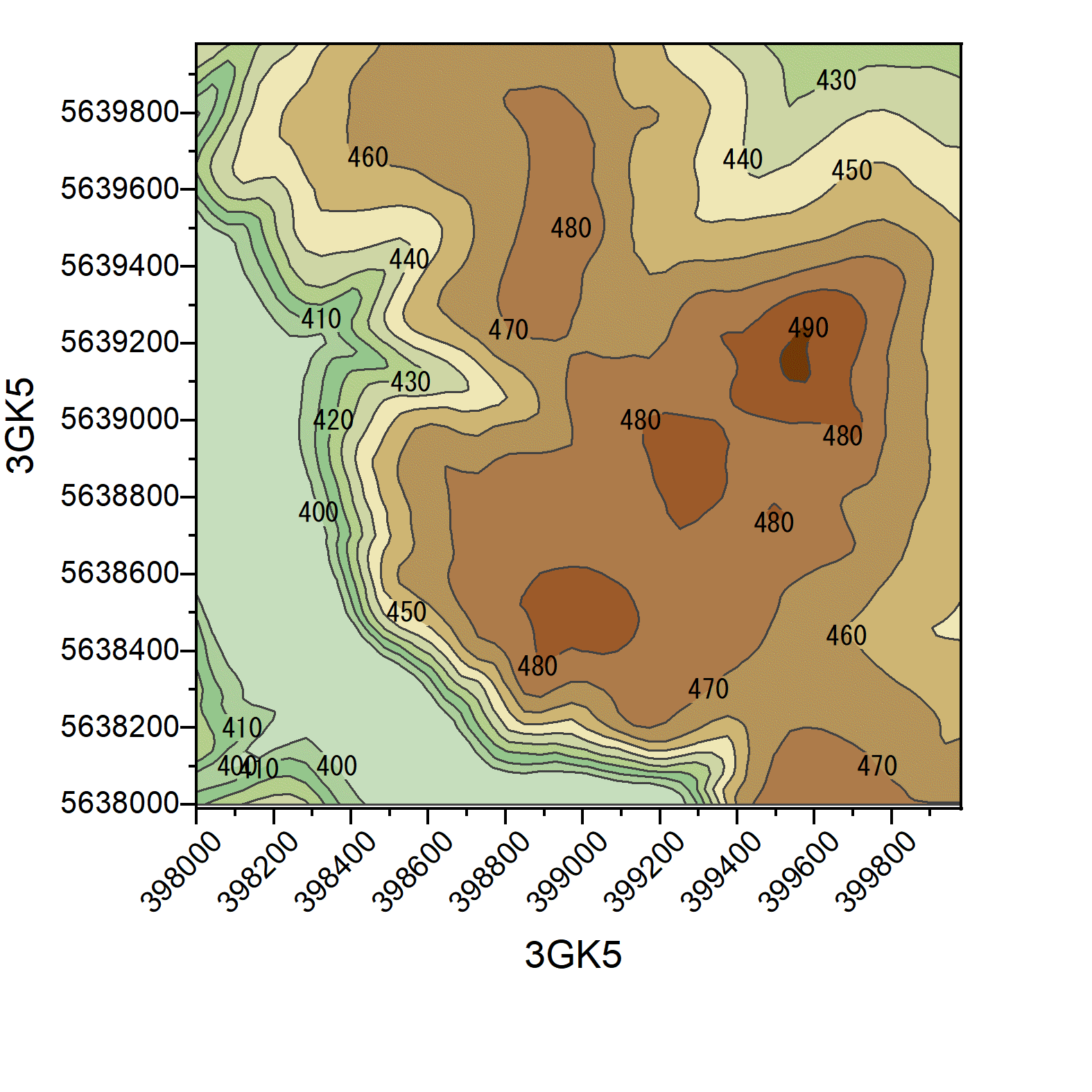
Example of Governmental Data:
Digital Terrain Model of Eastern edge of Klingenberg Dam - Drinking water reservoir in the Eastern Ore Mountain