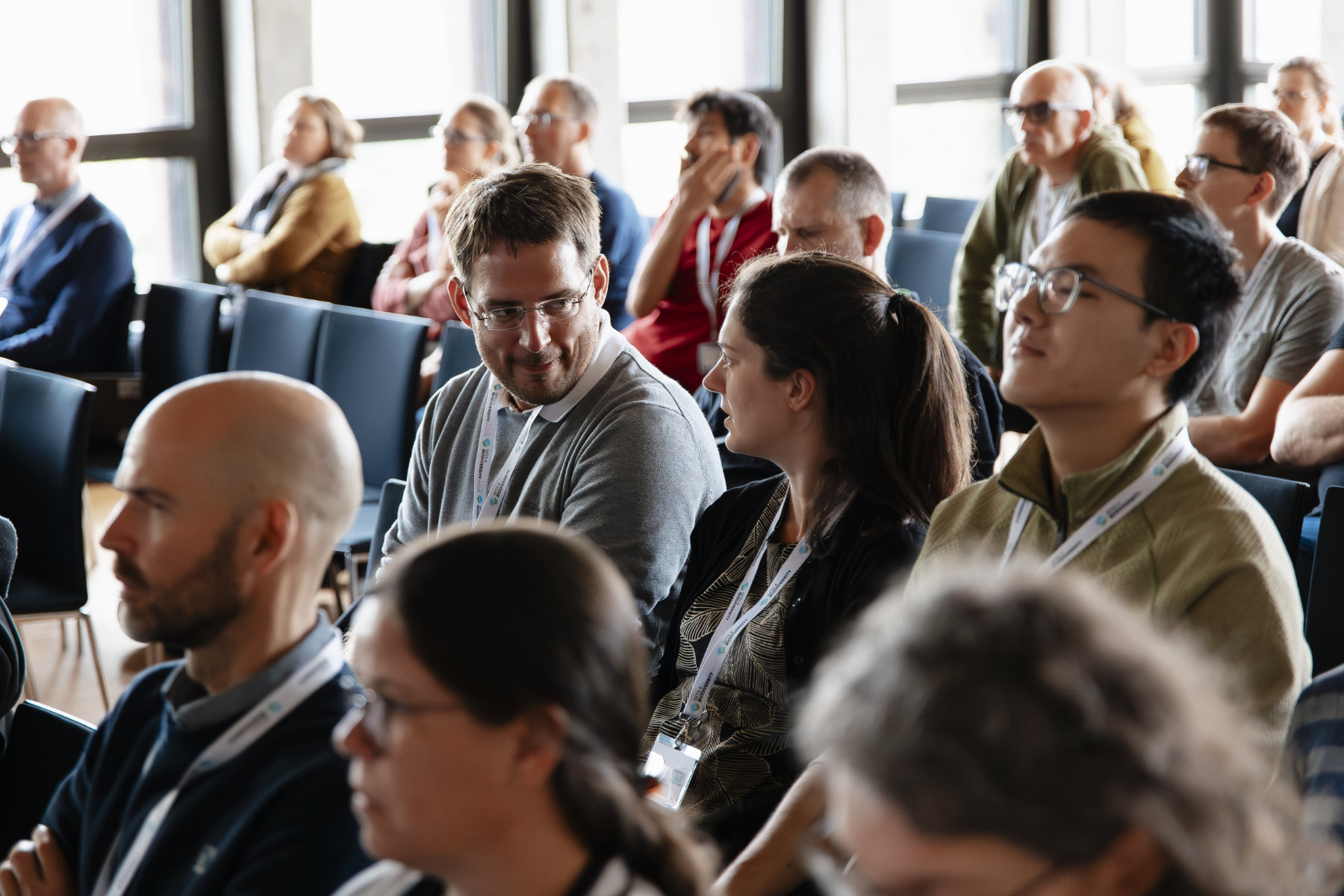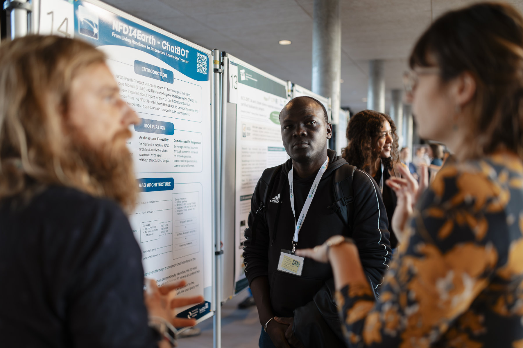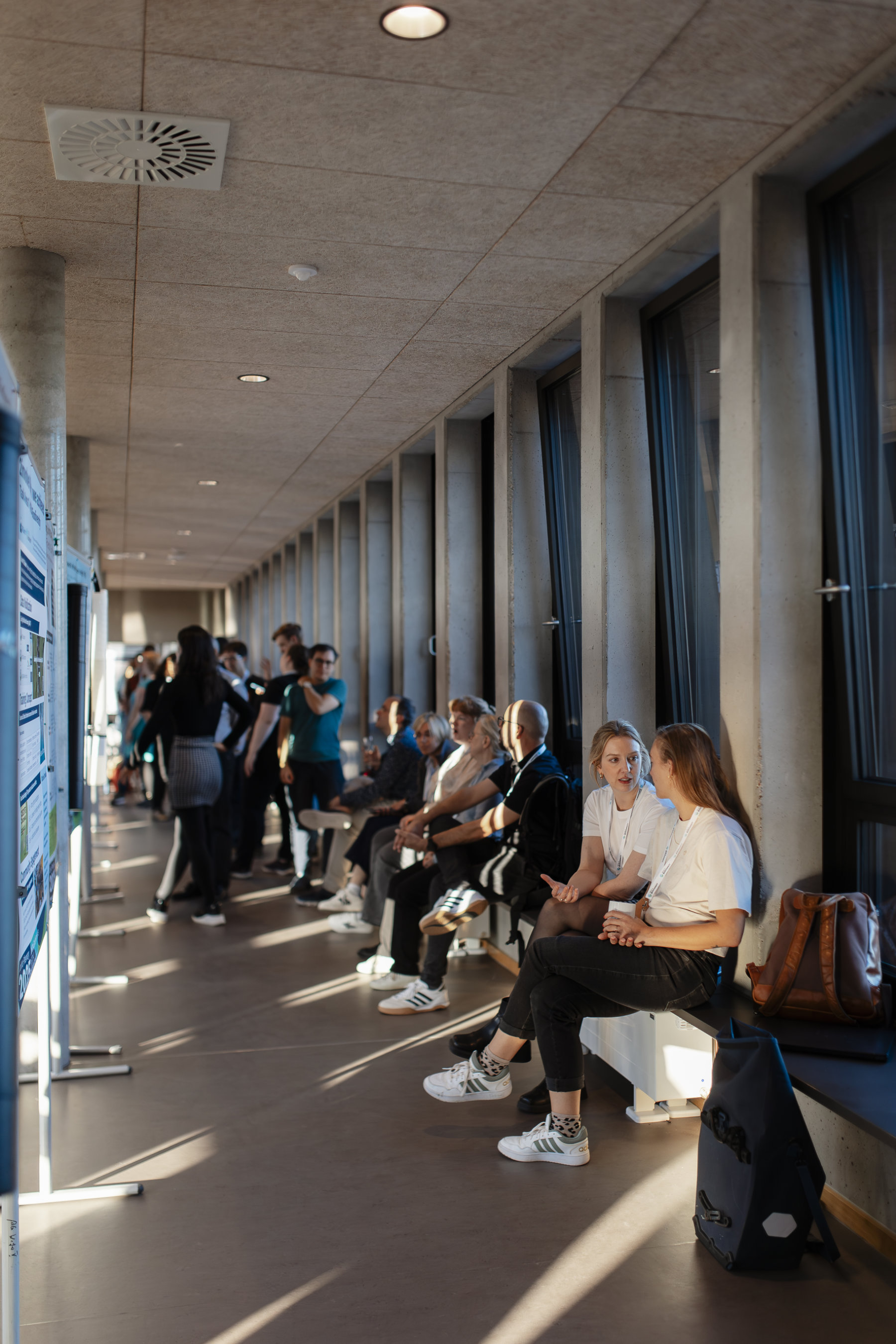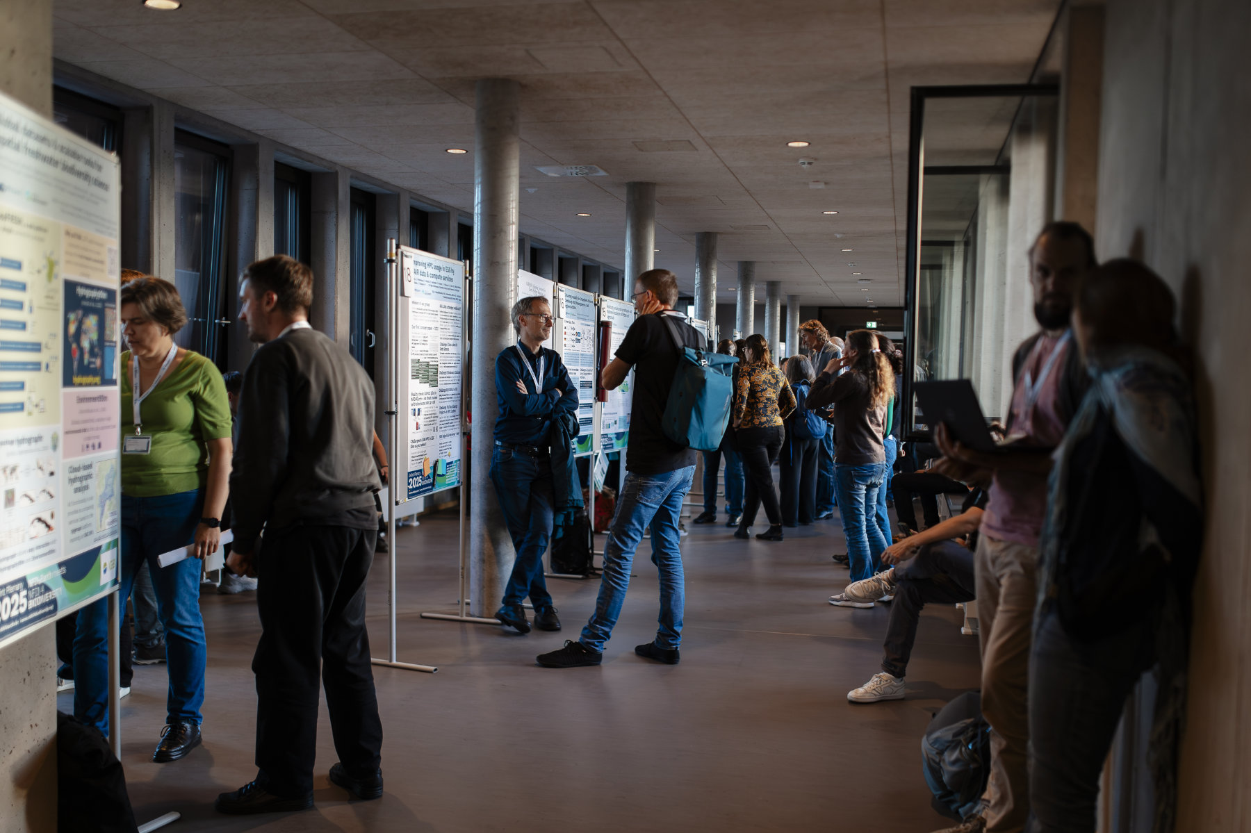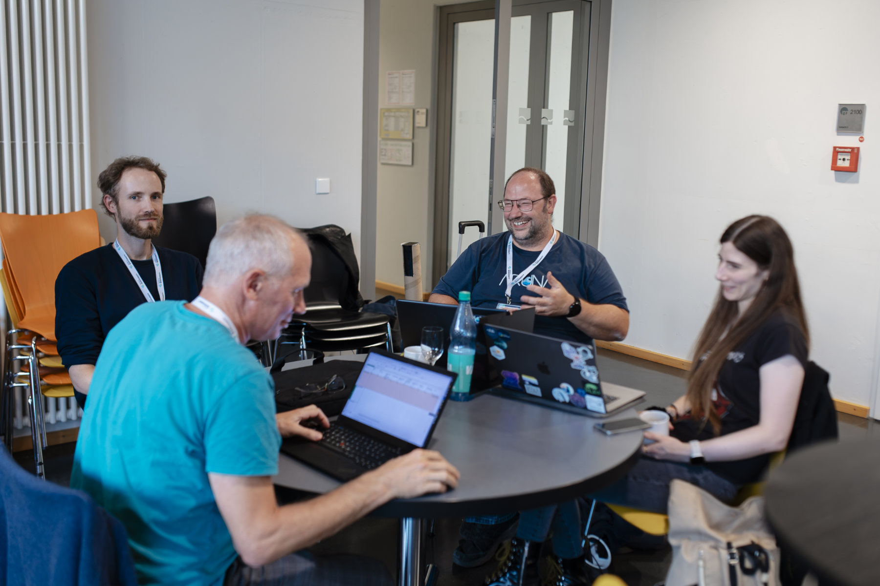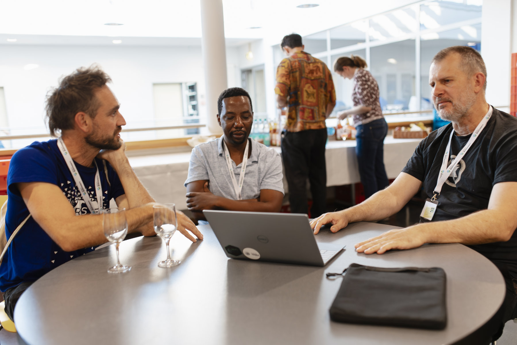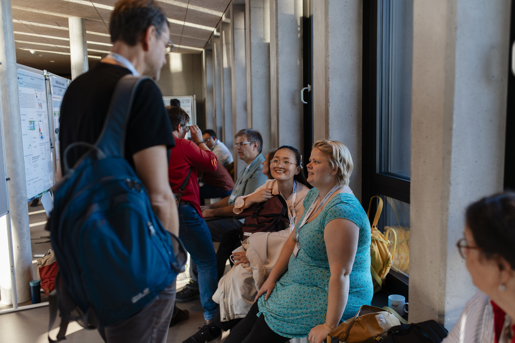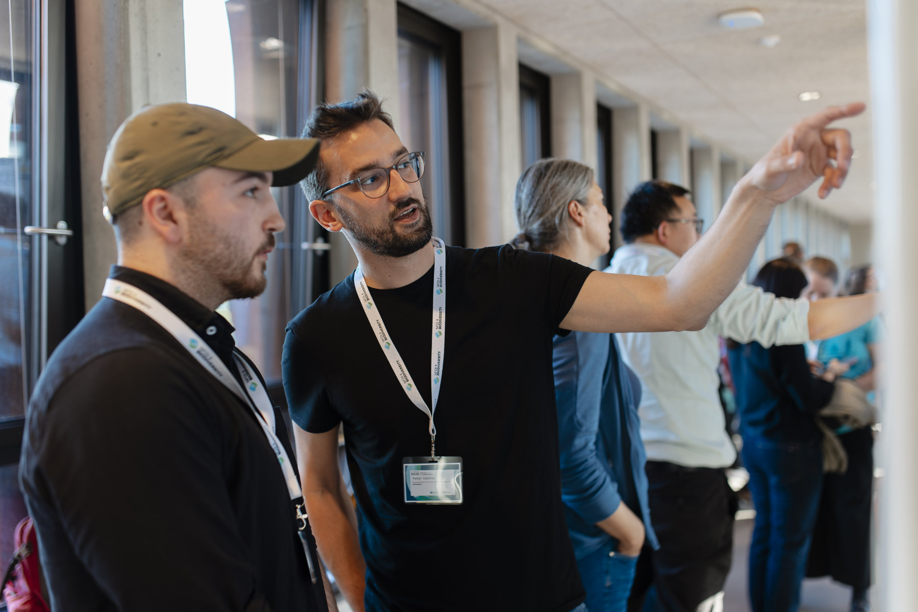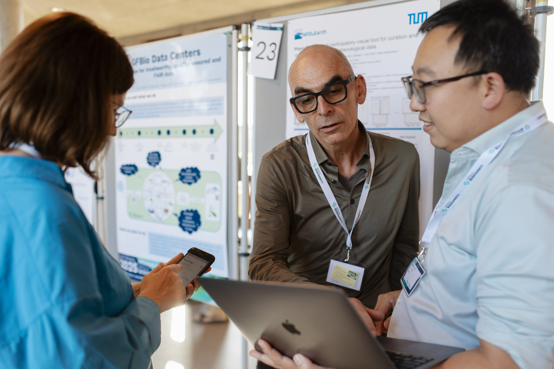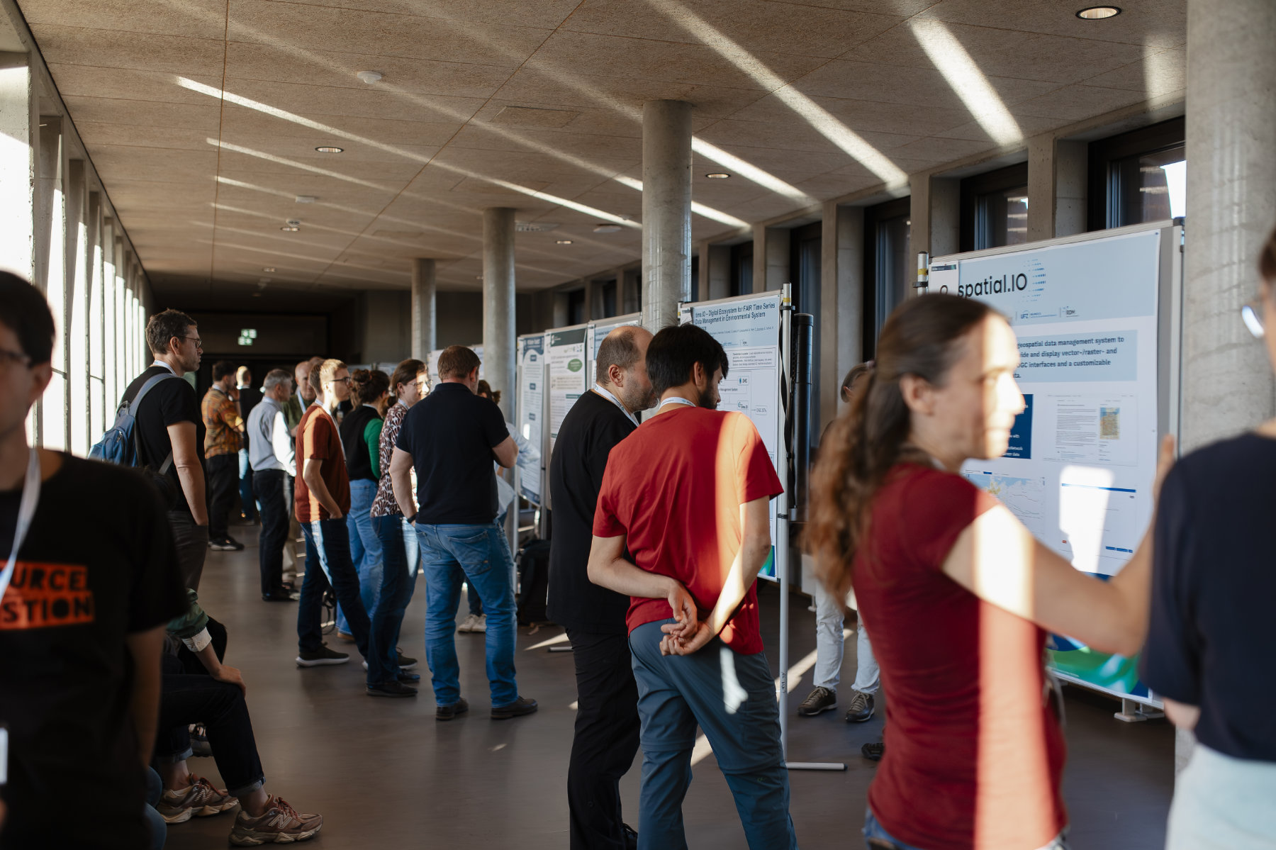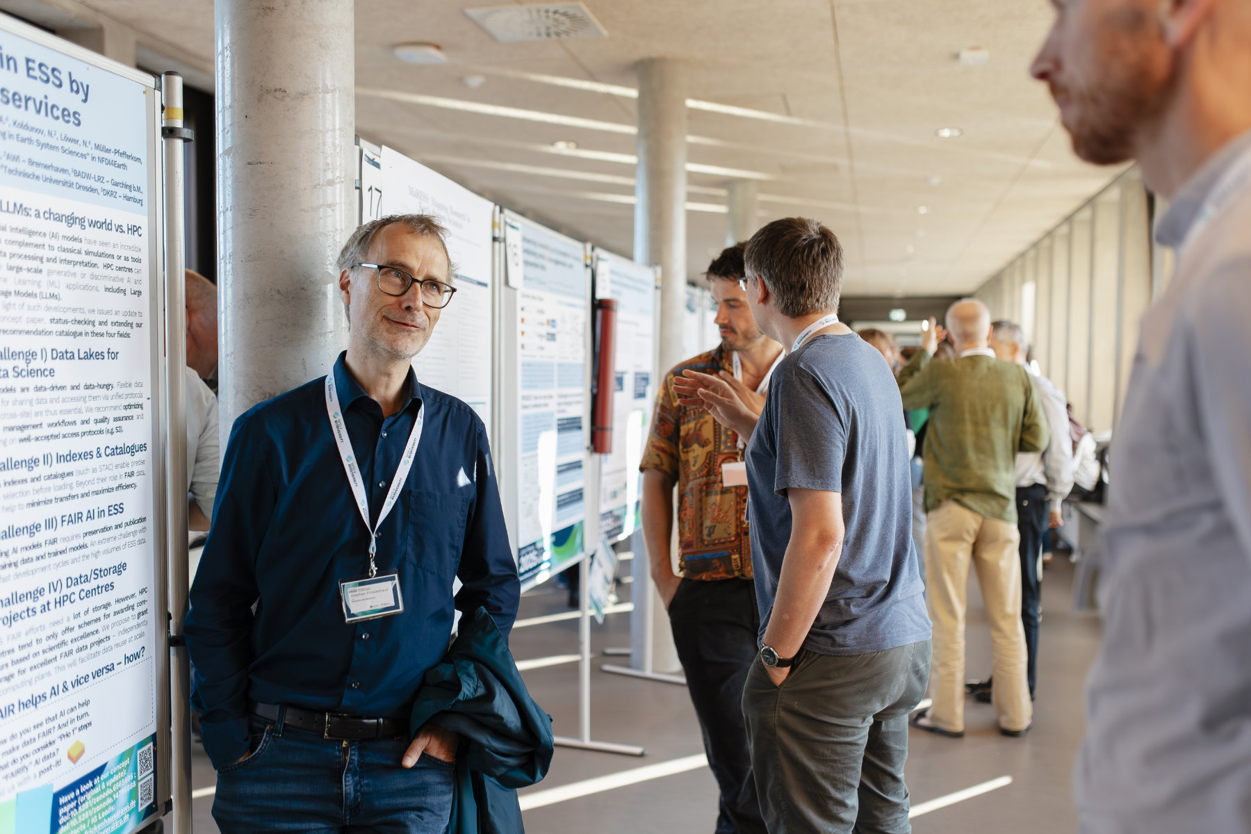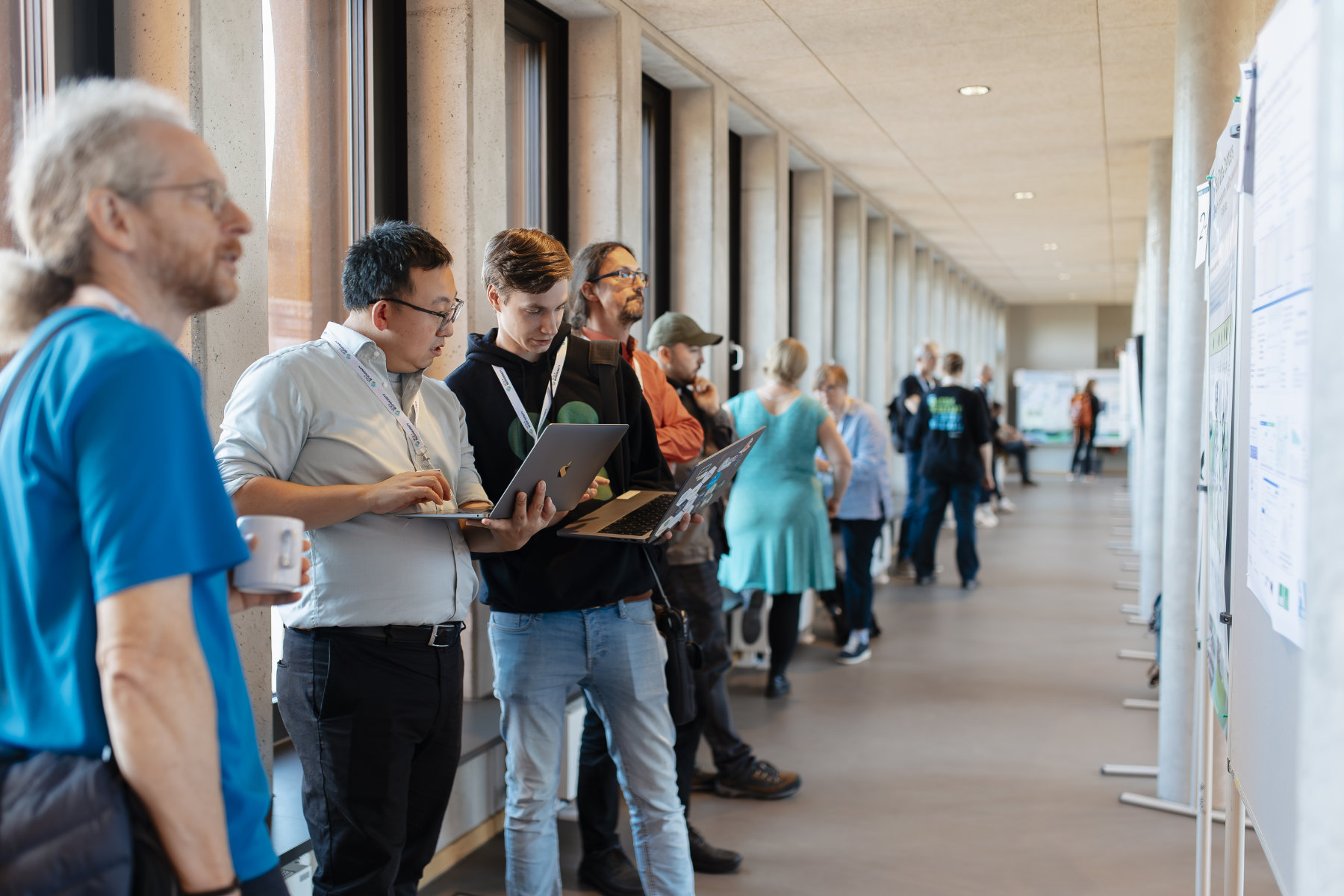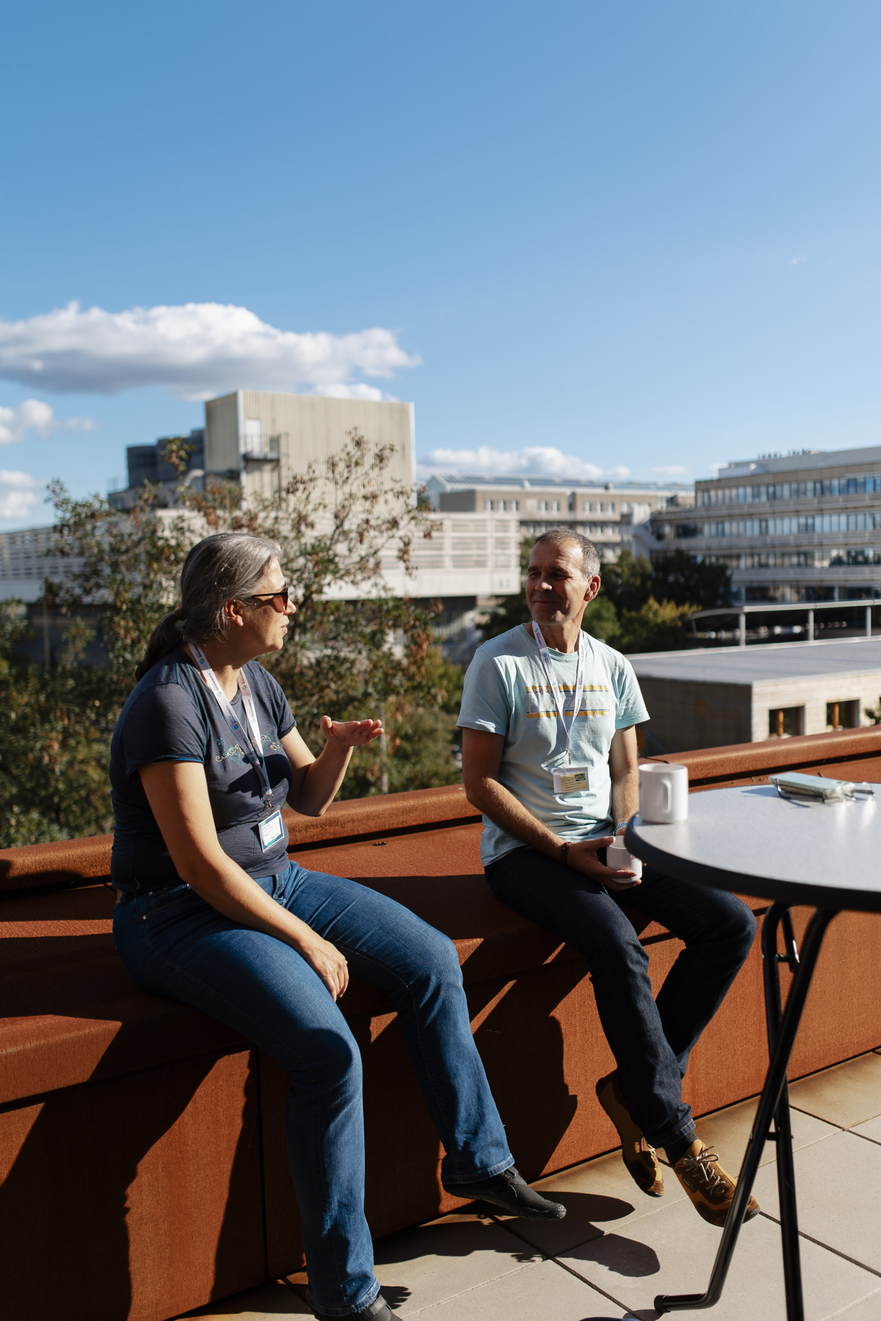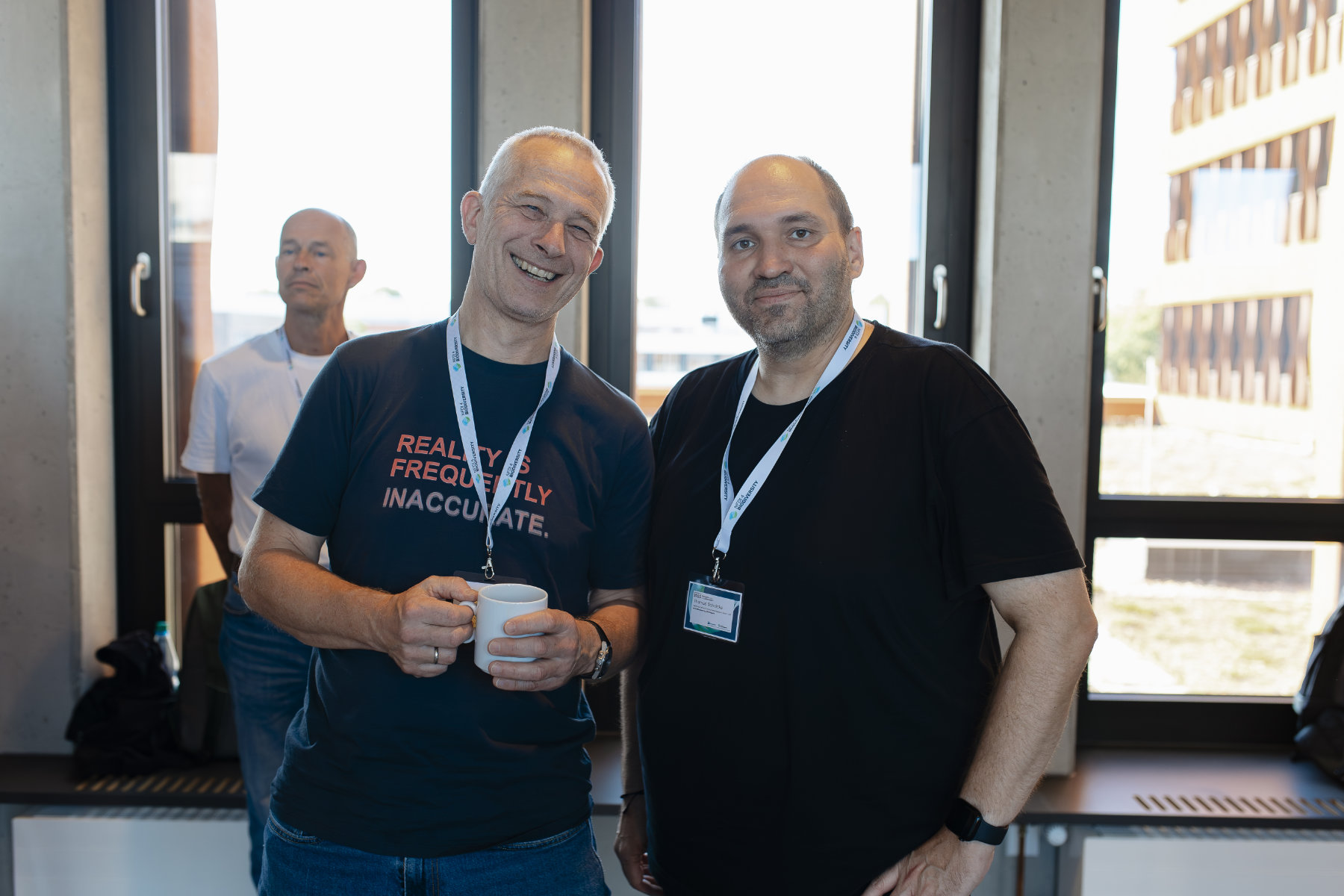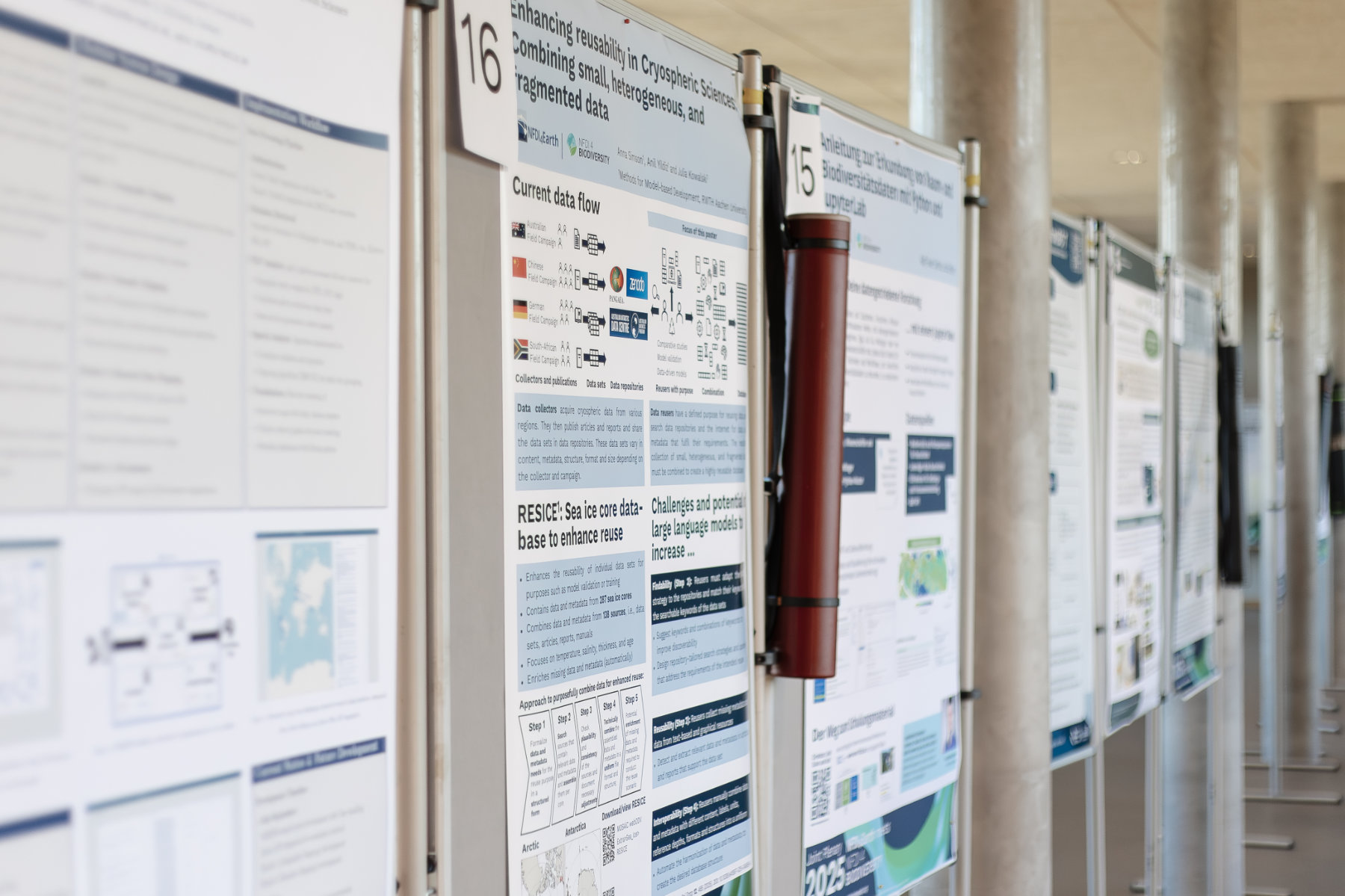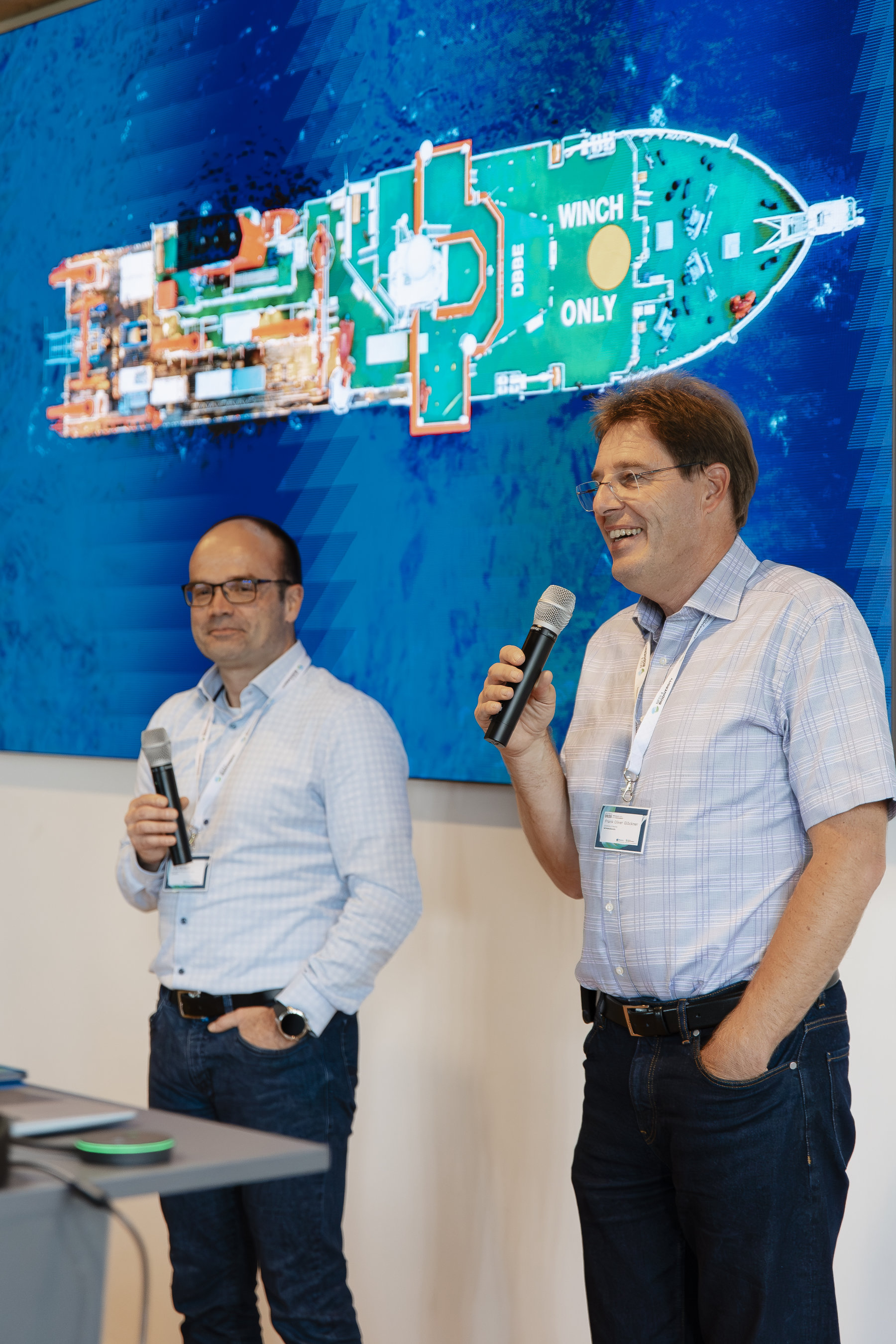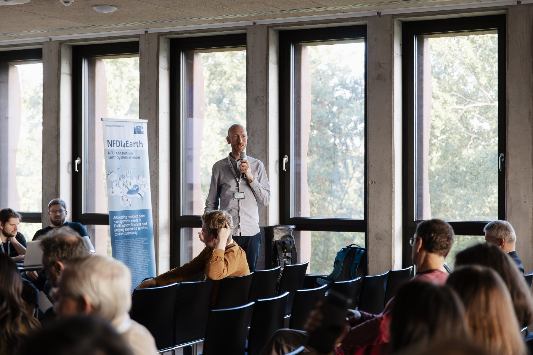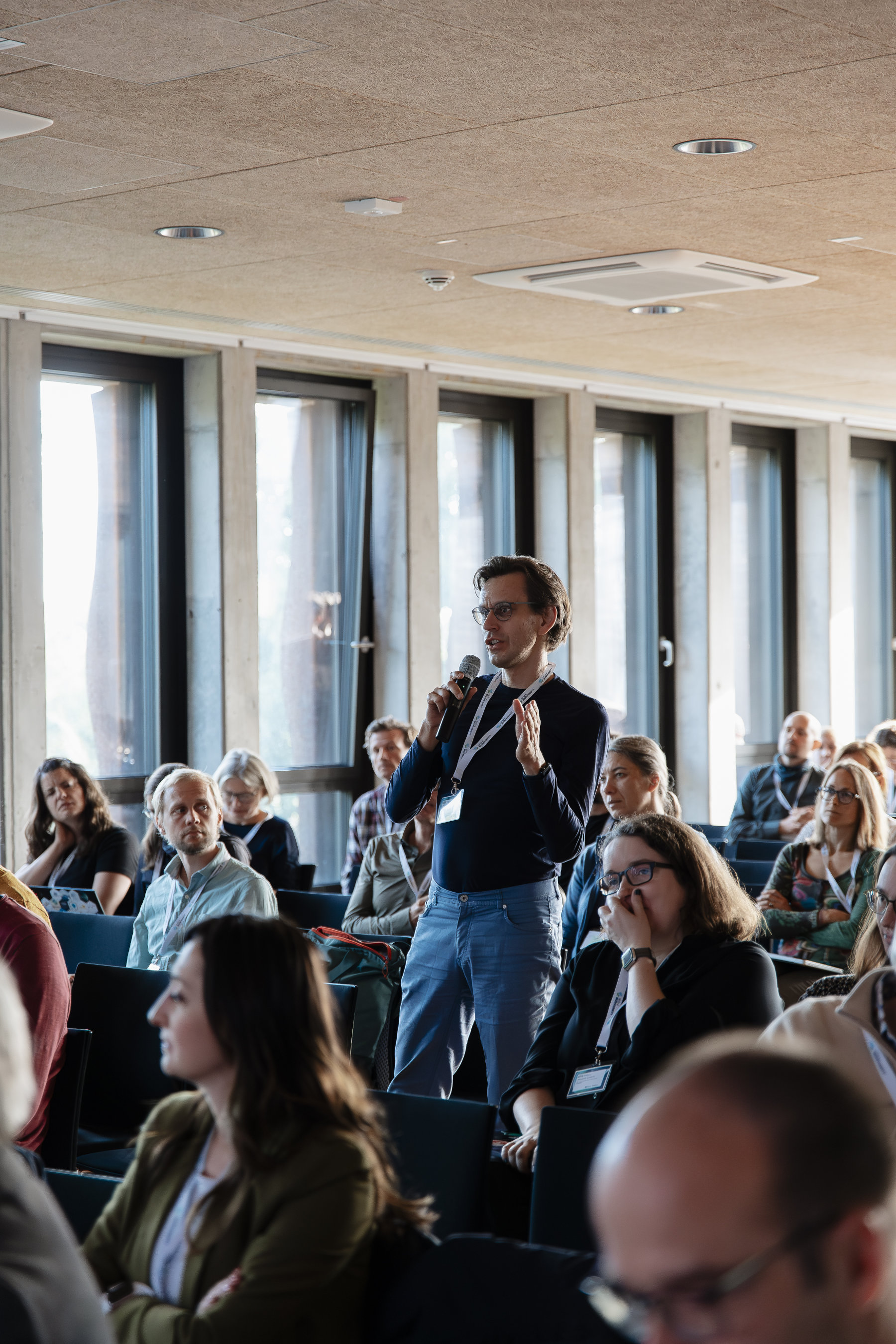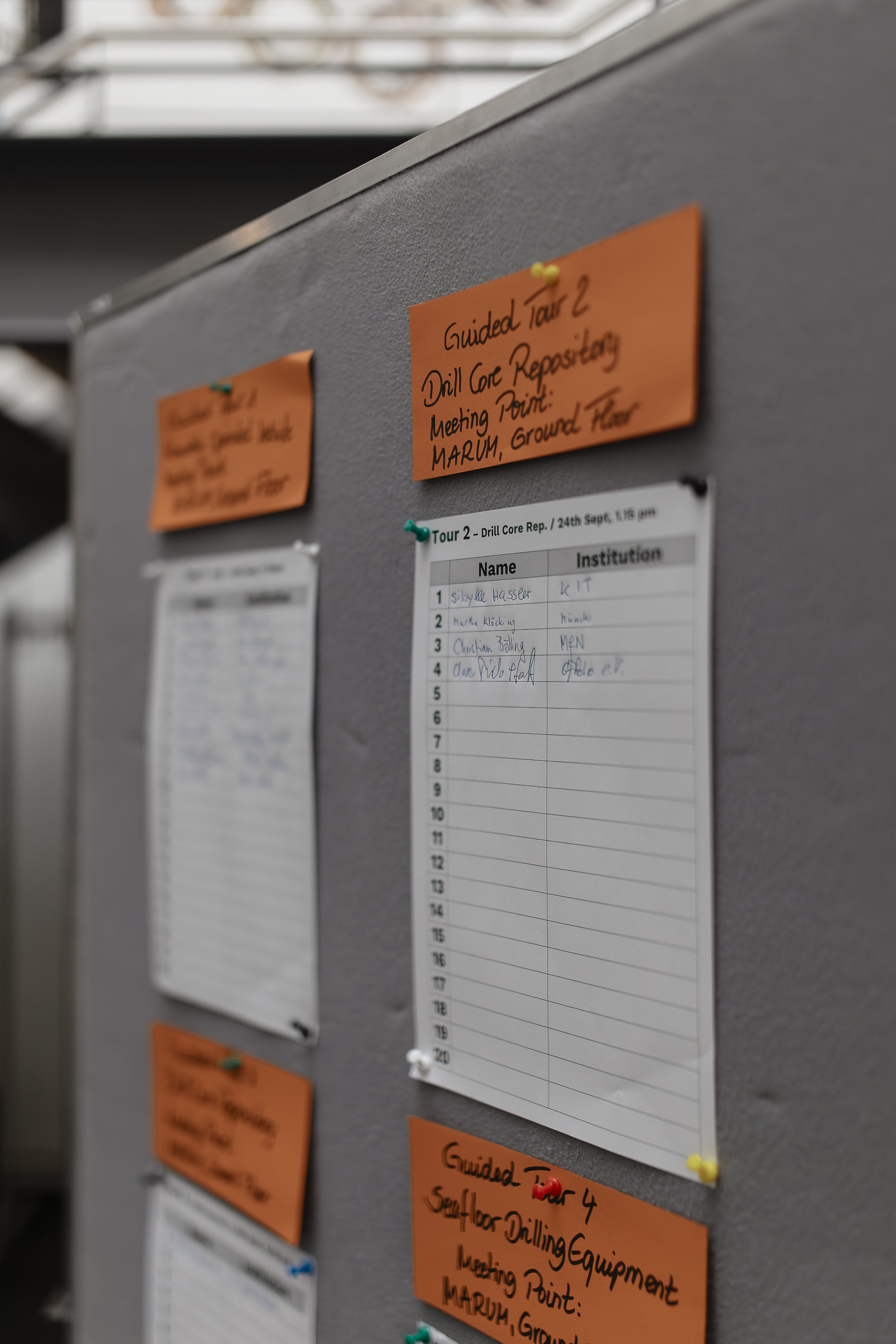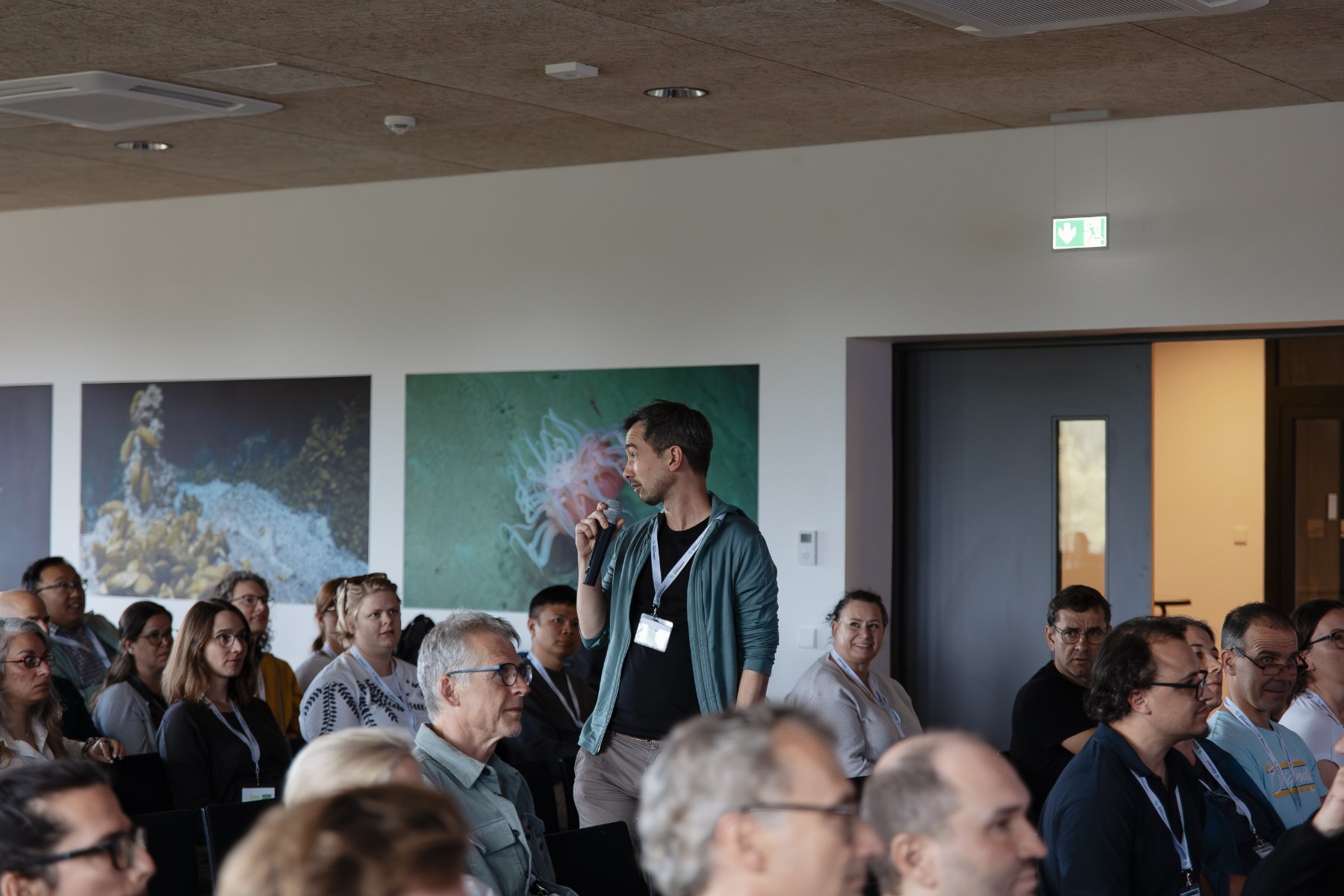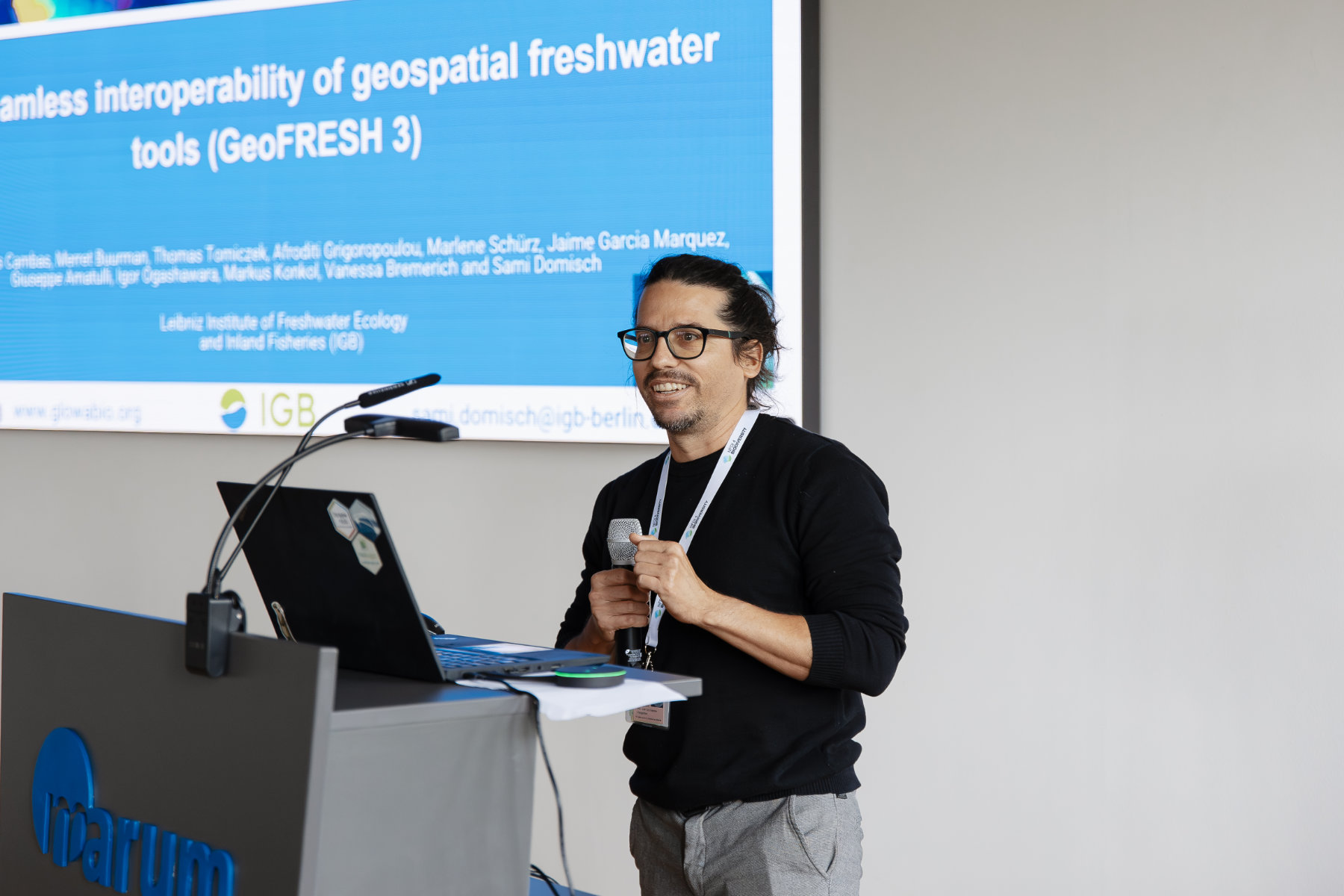
Poster sessions, a barcamp, a software & tools marketplace, and many more ways to connect, contribute and collaborate:
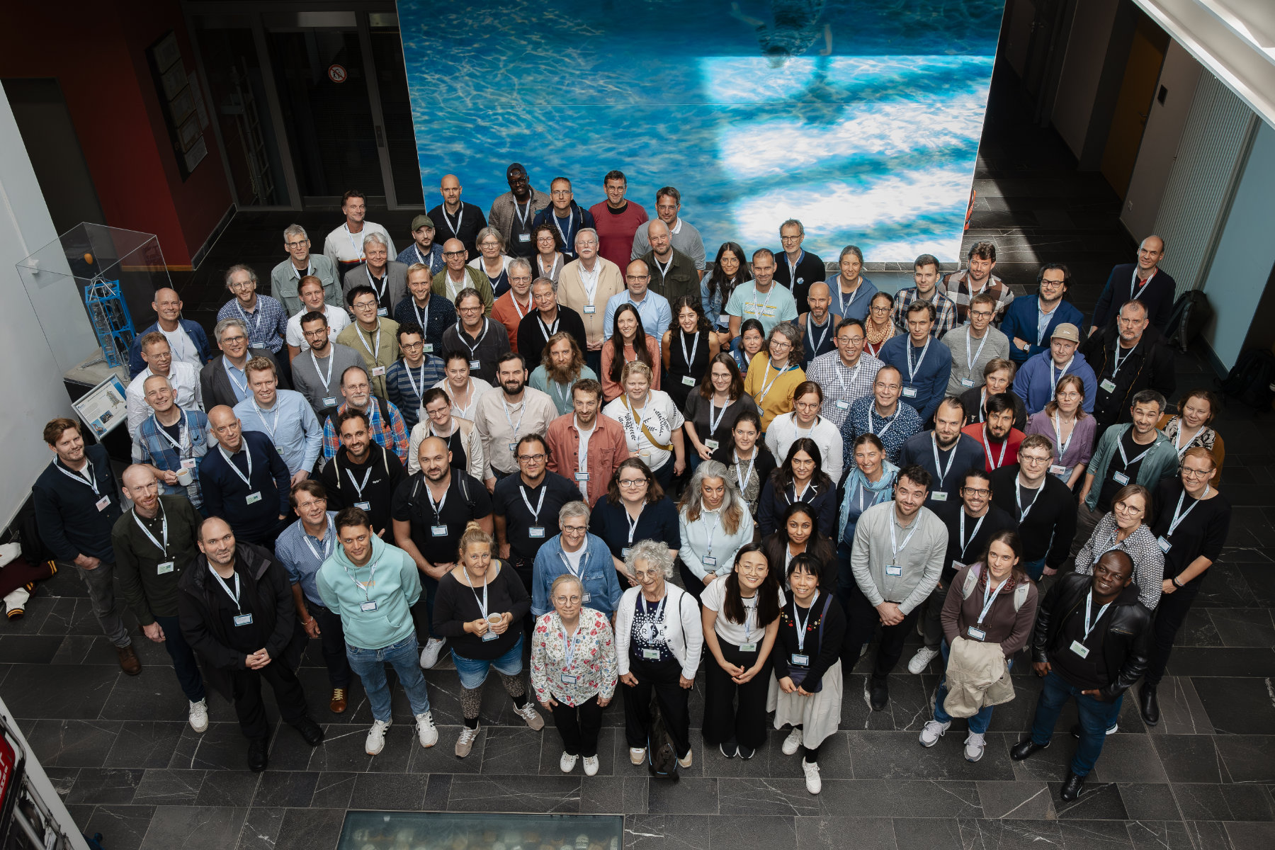
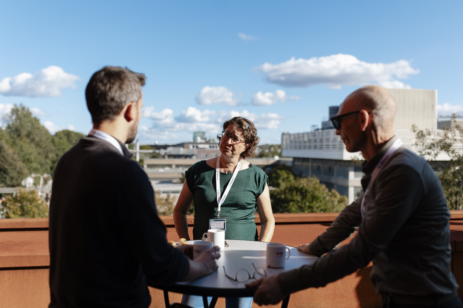
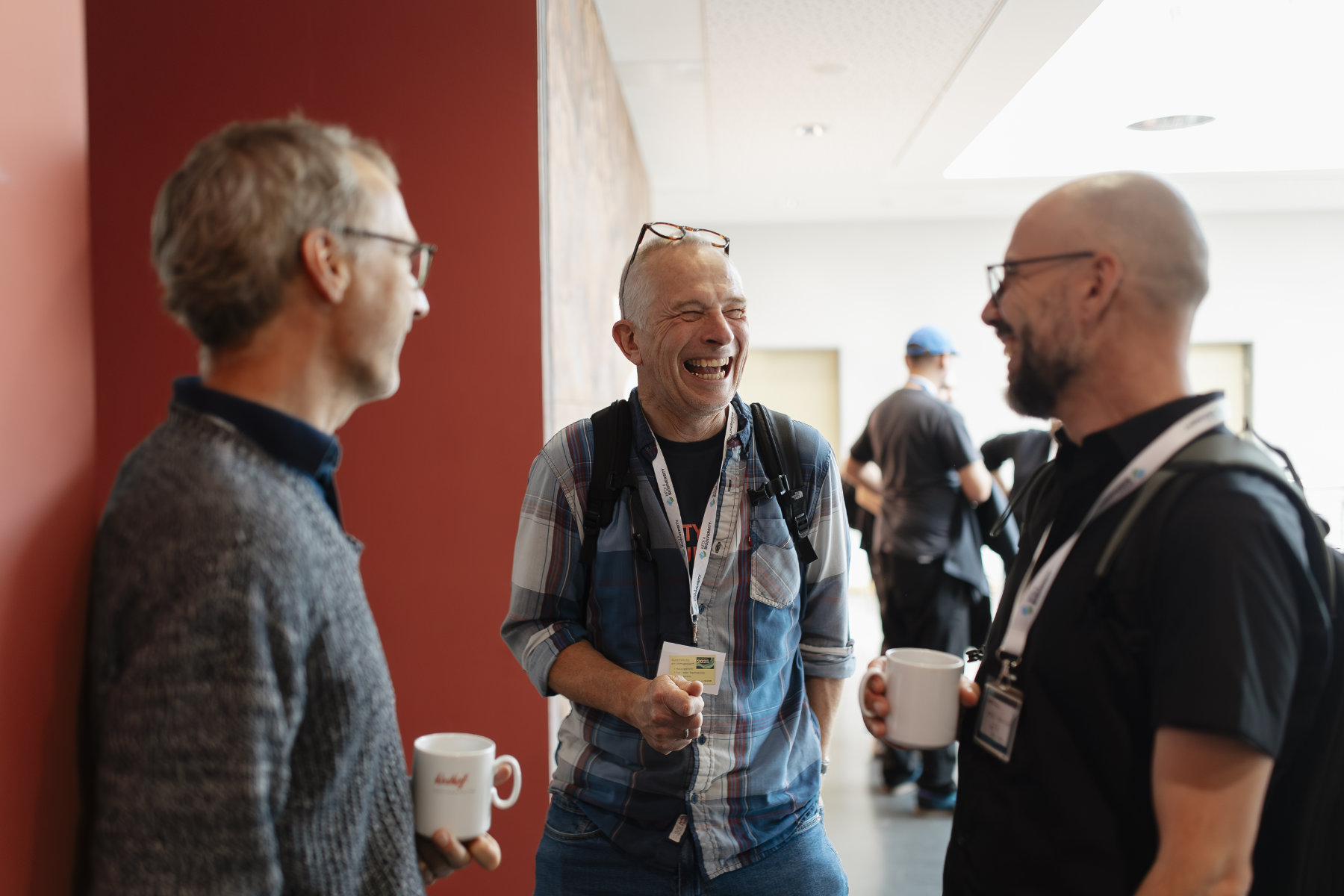
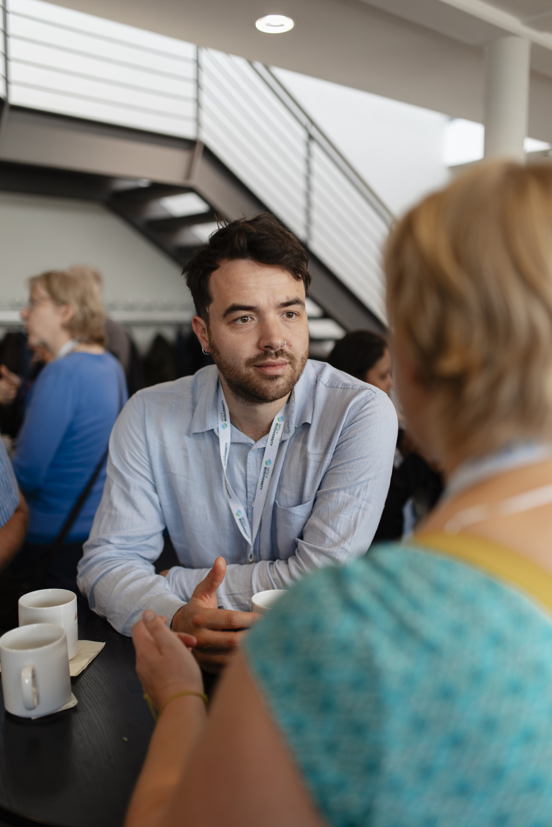
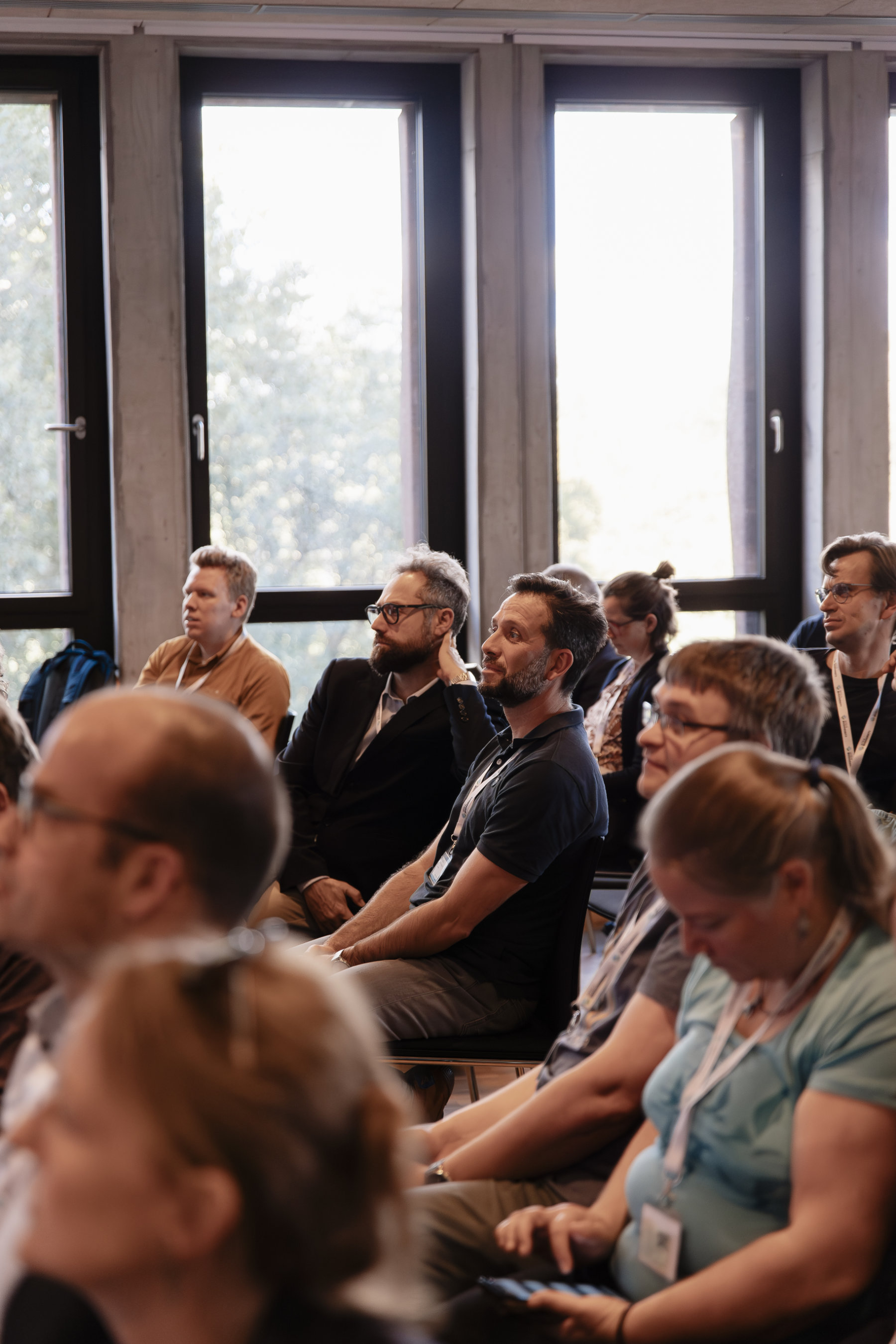
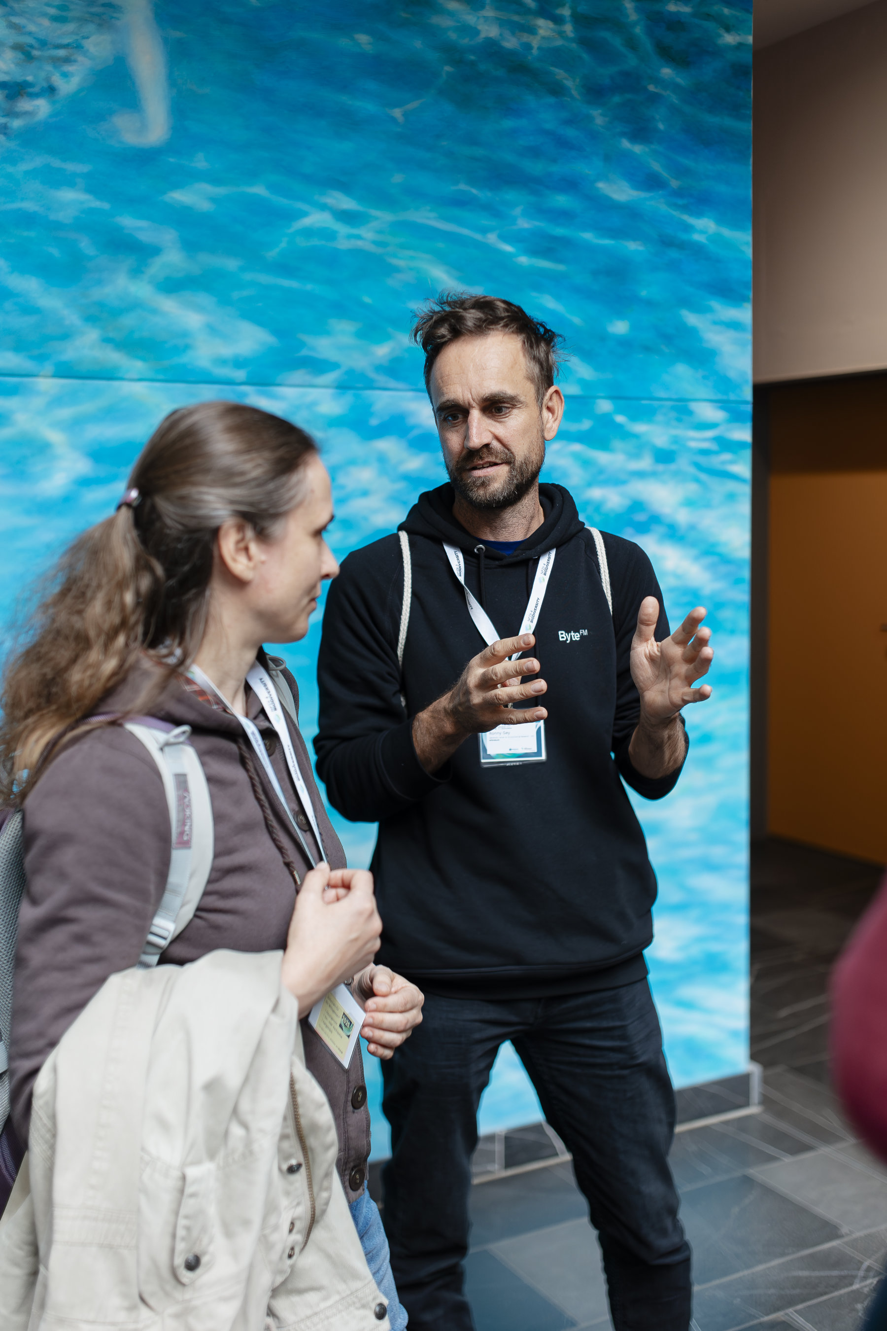
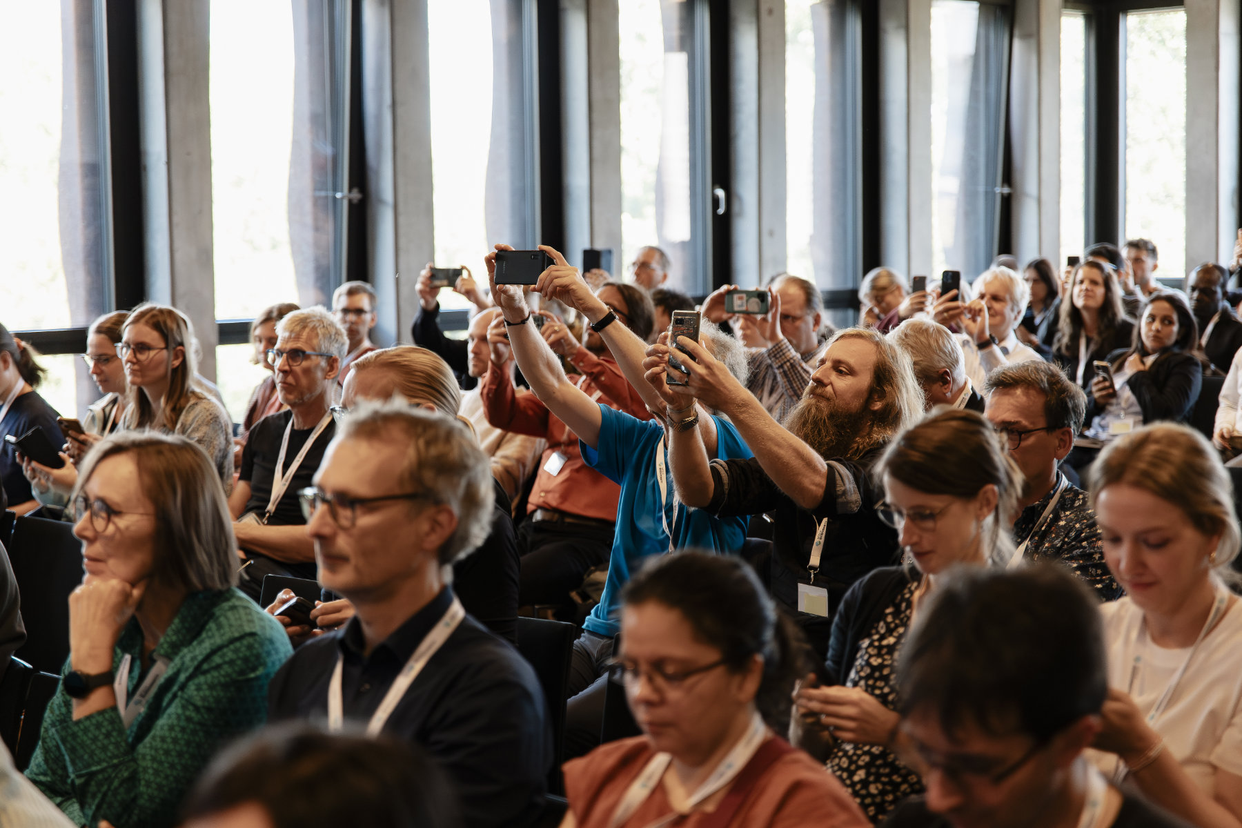
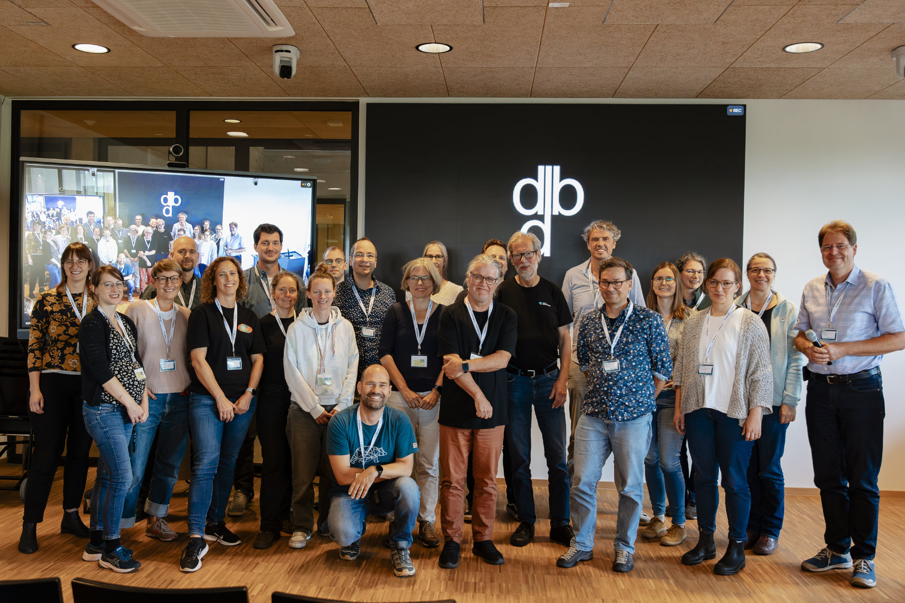
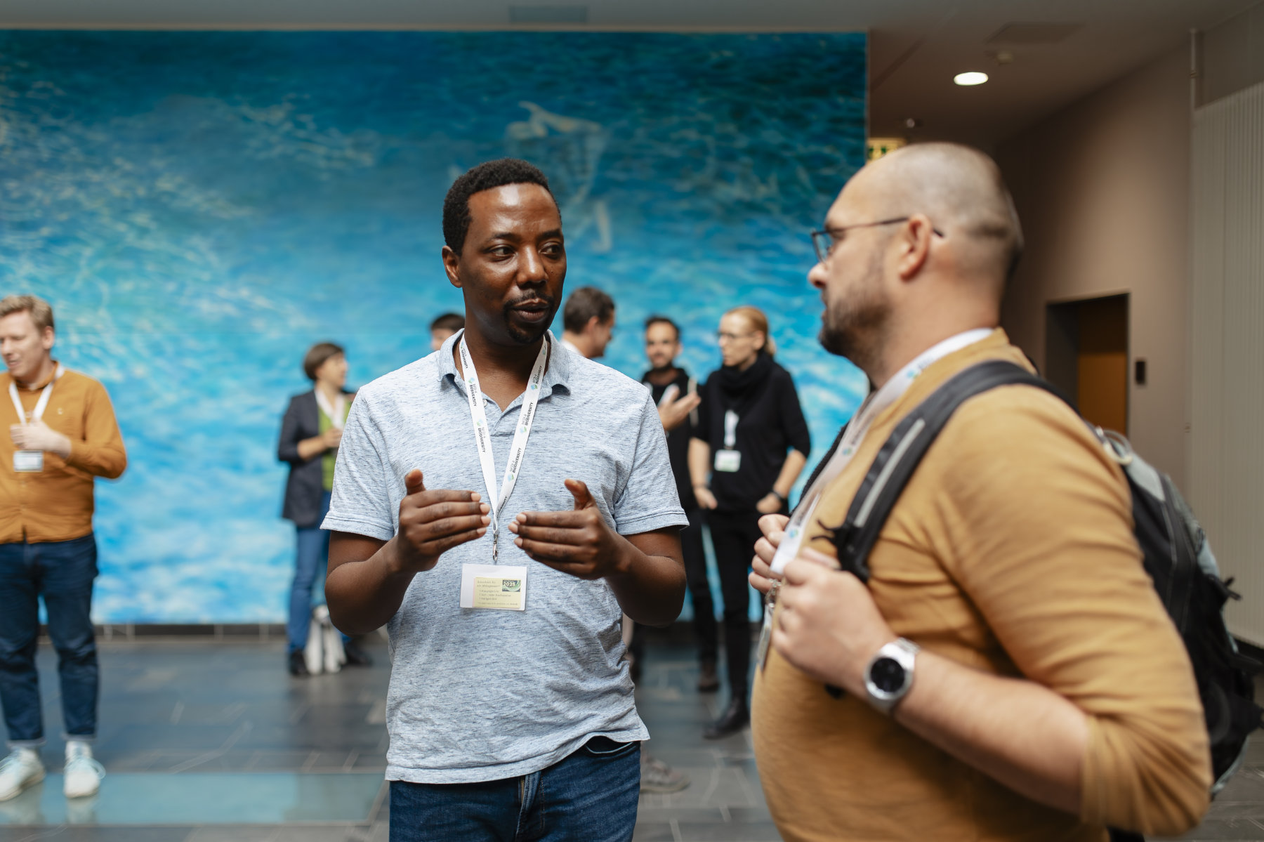
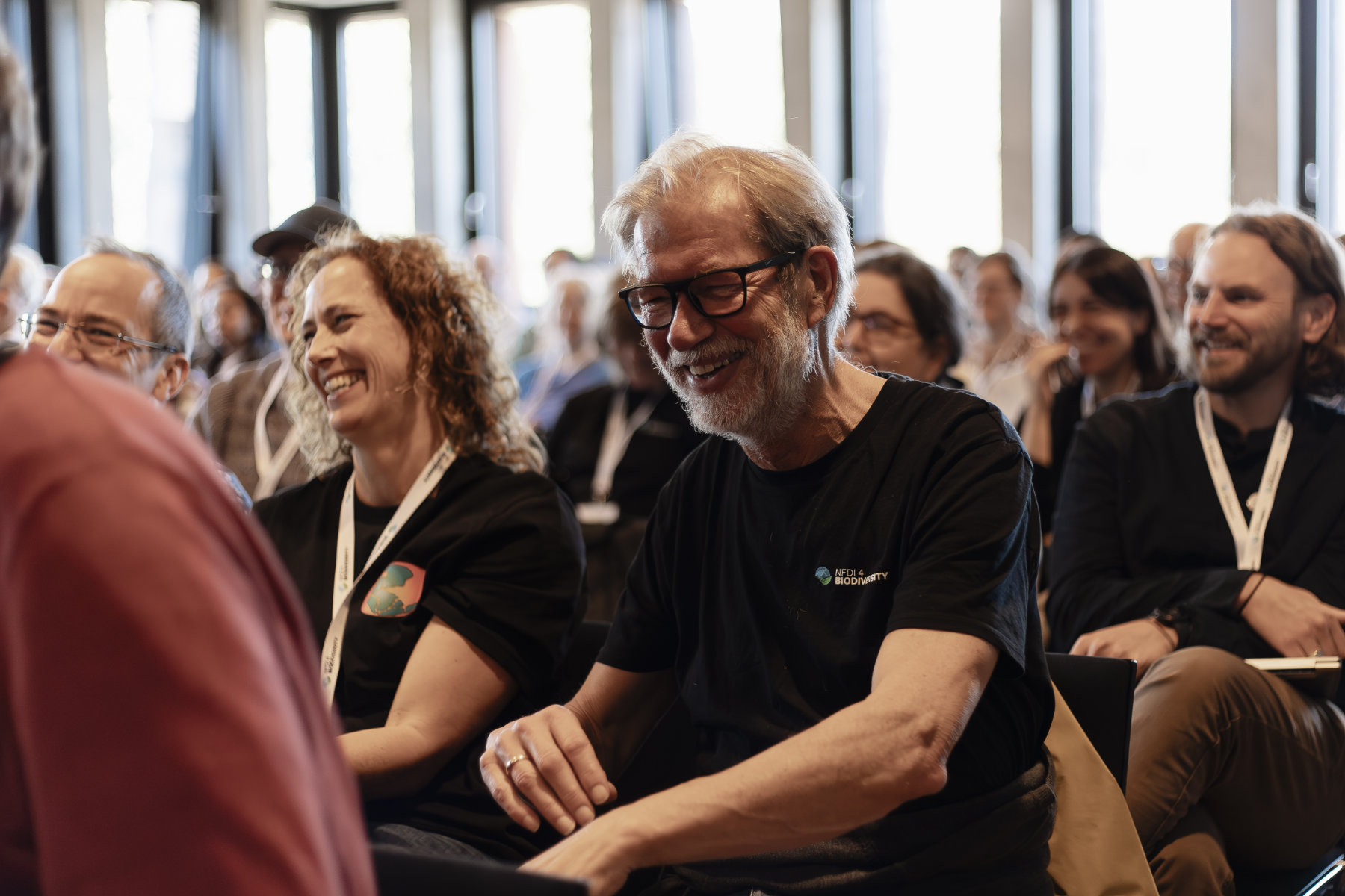
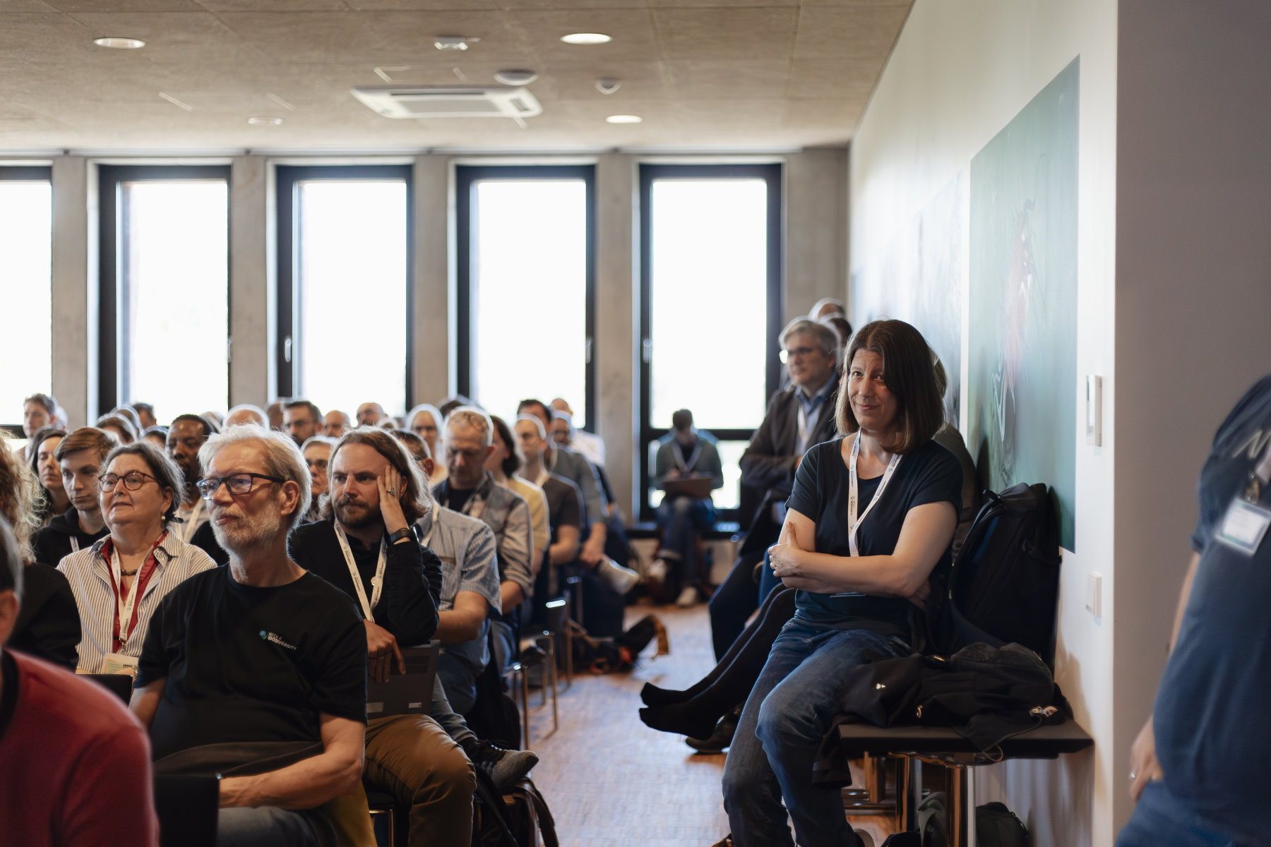
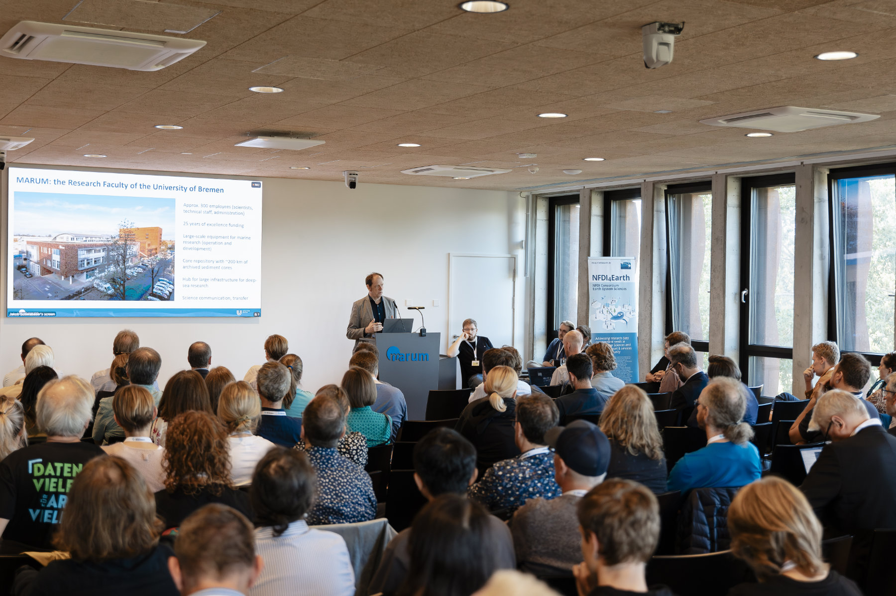
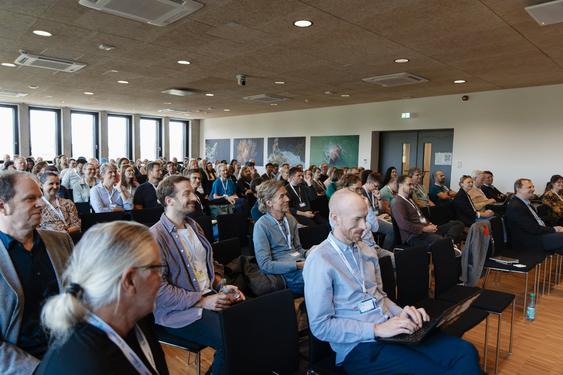
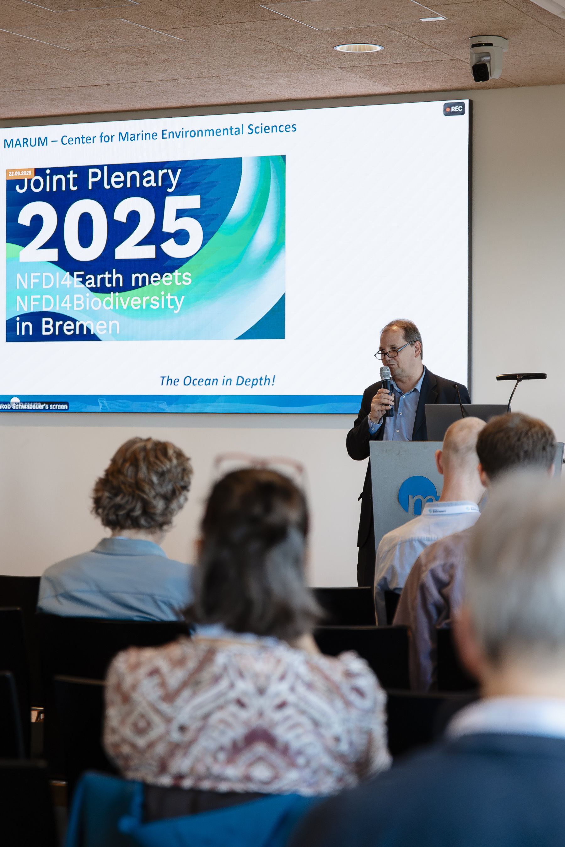
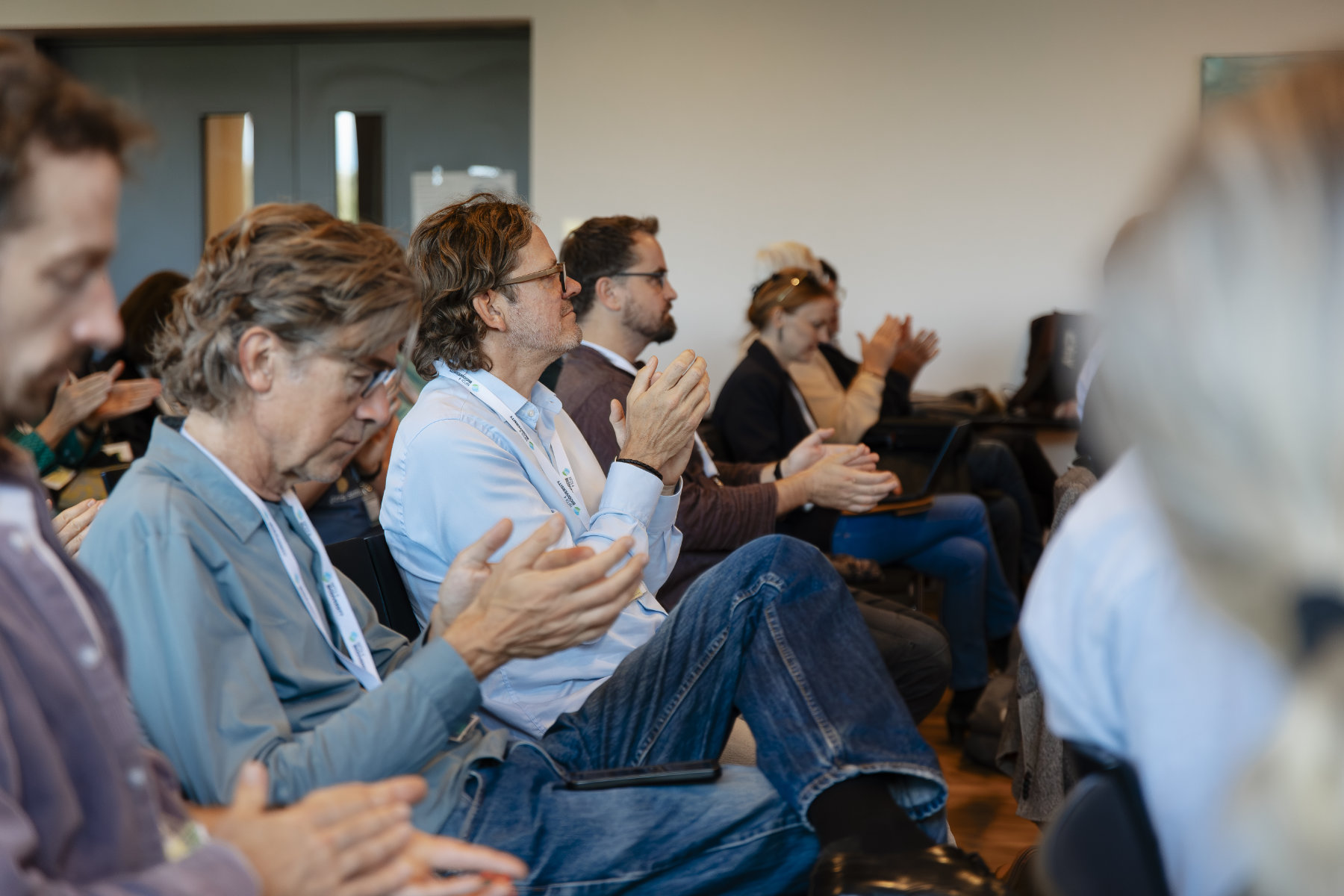
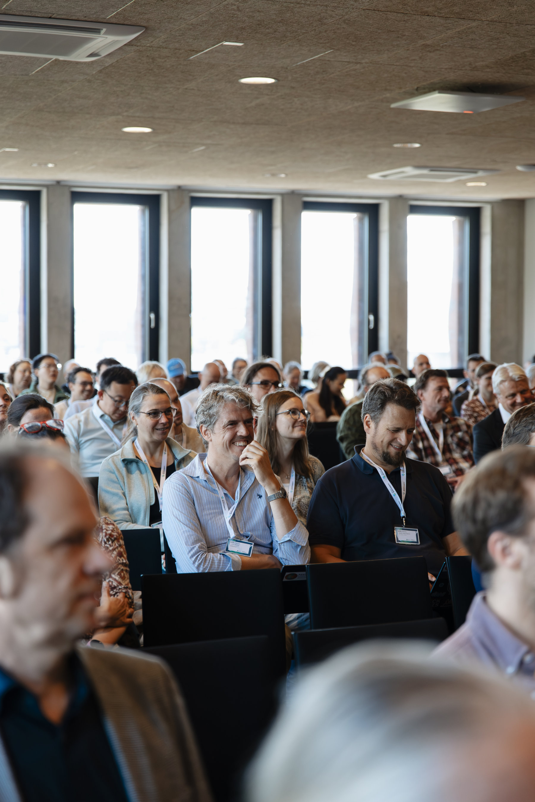
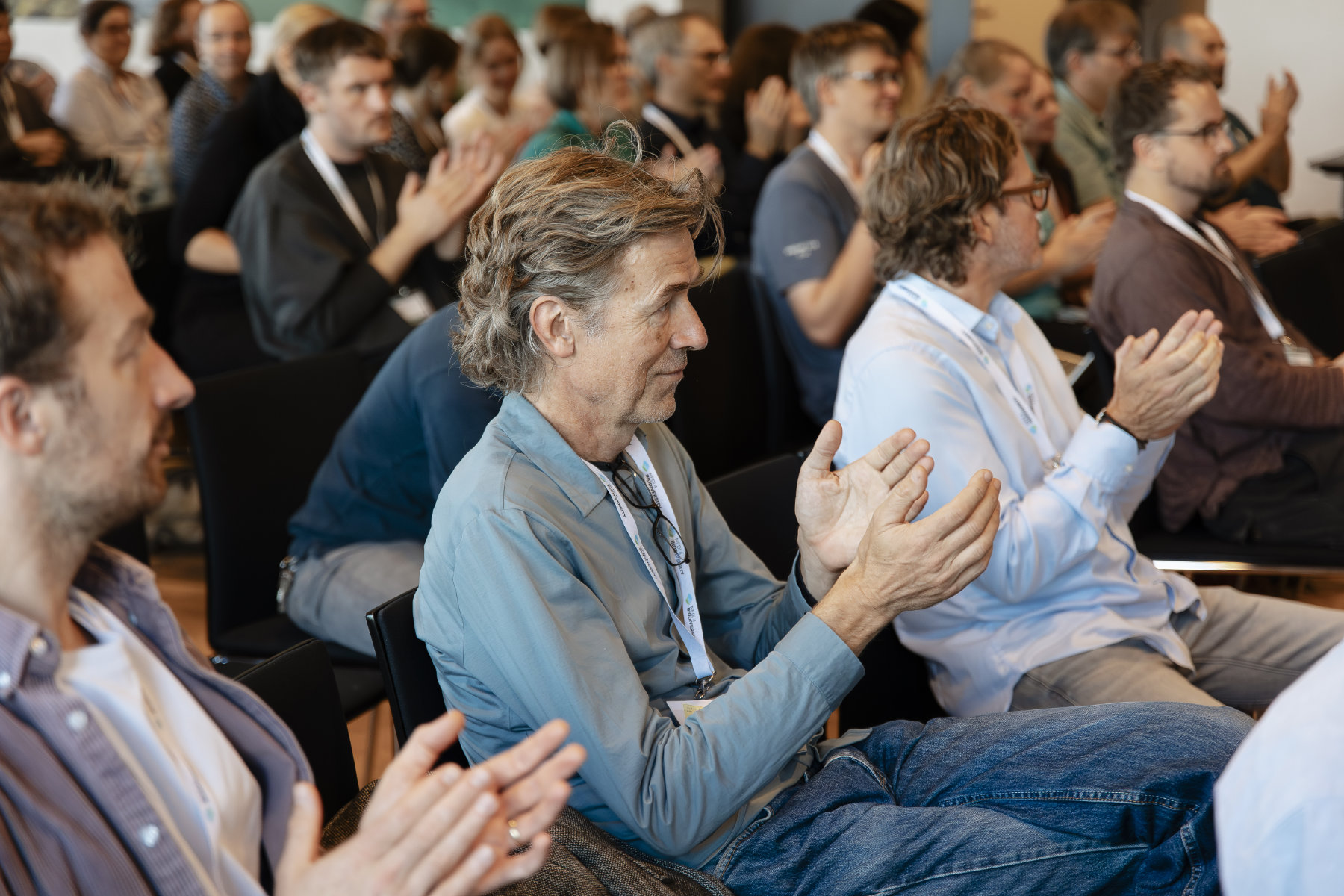
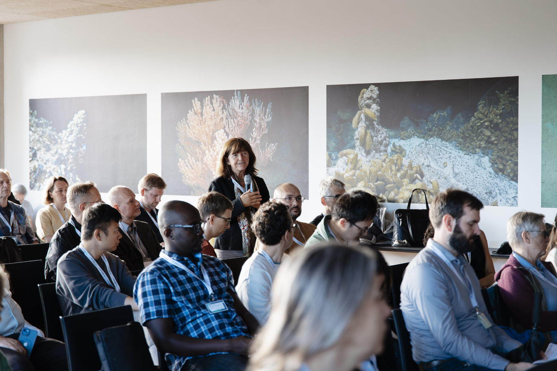
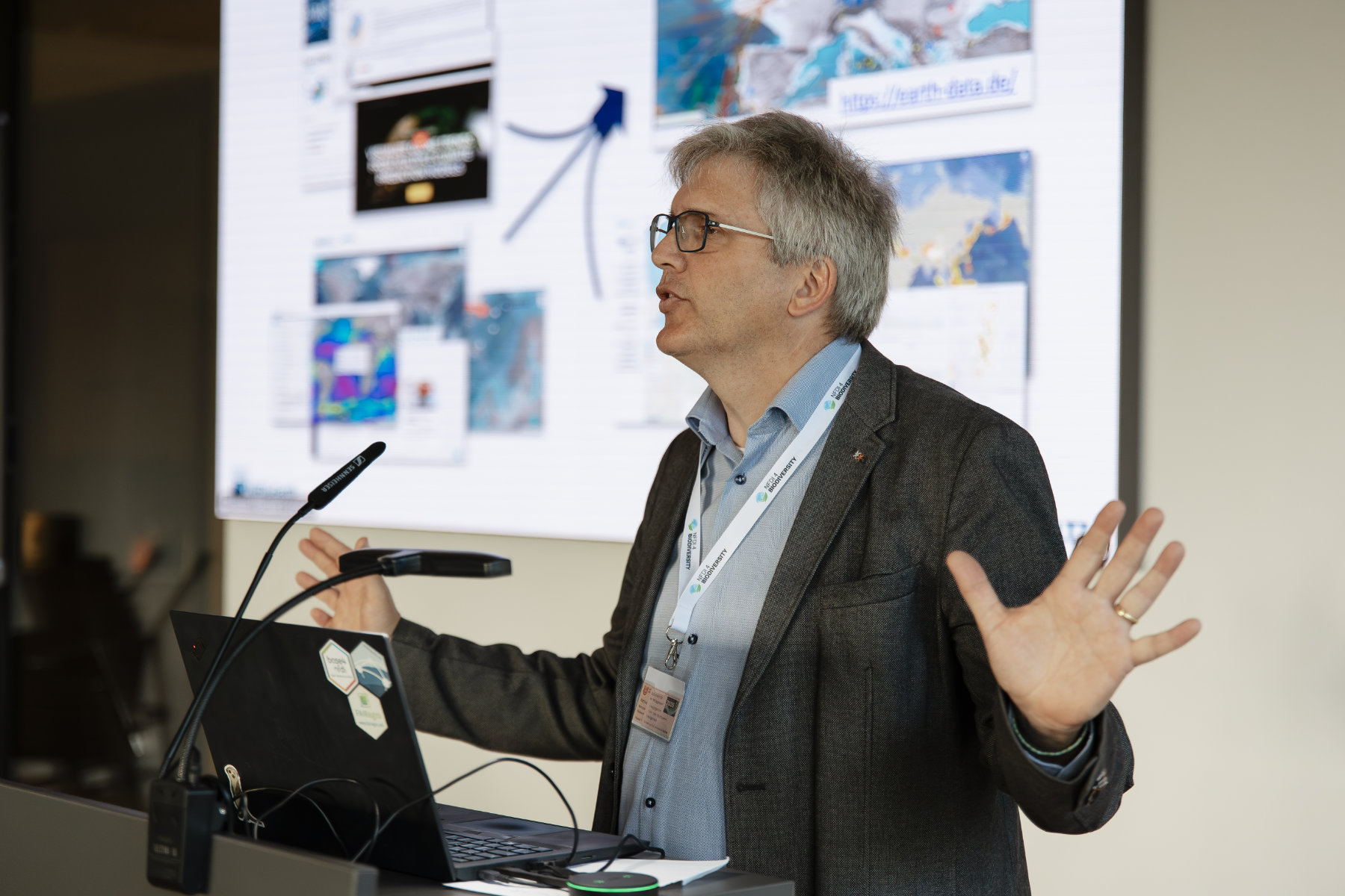
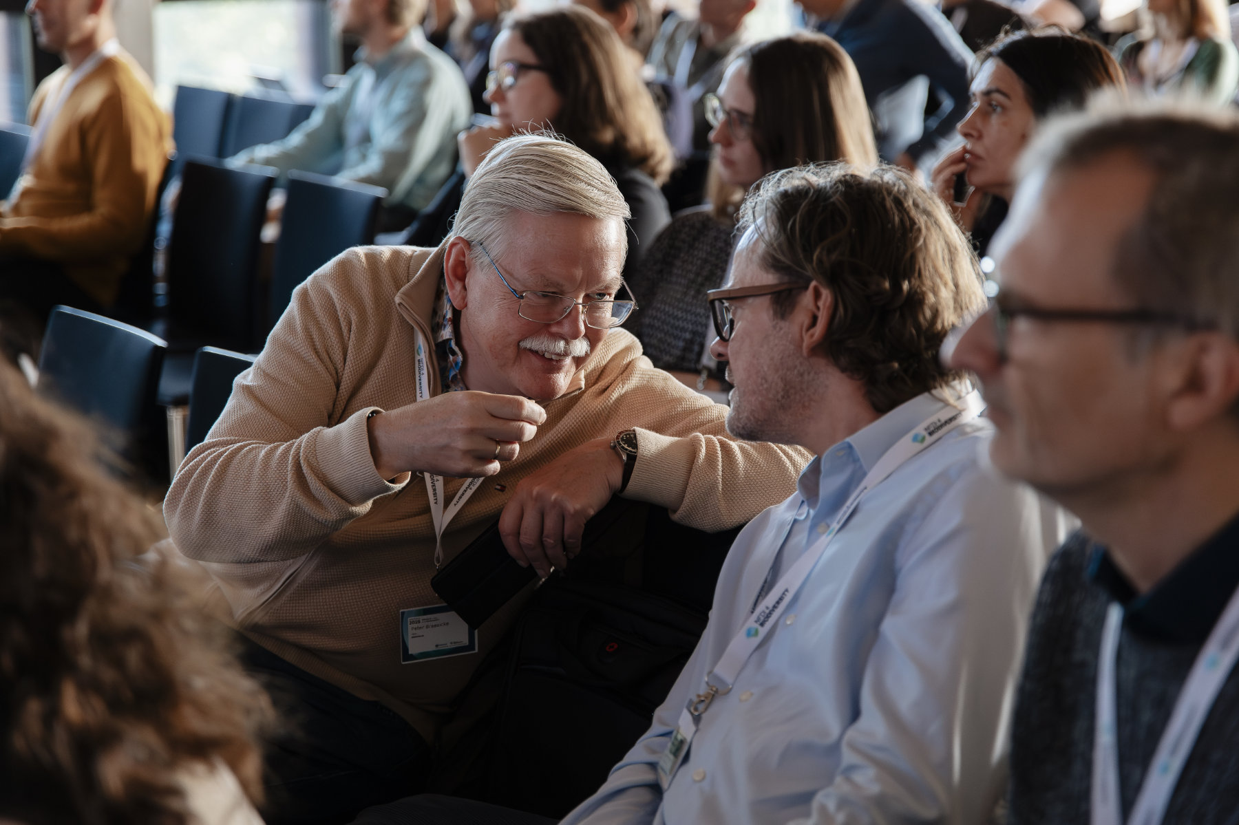
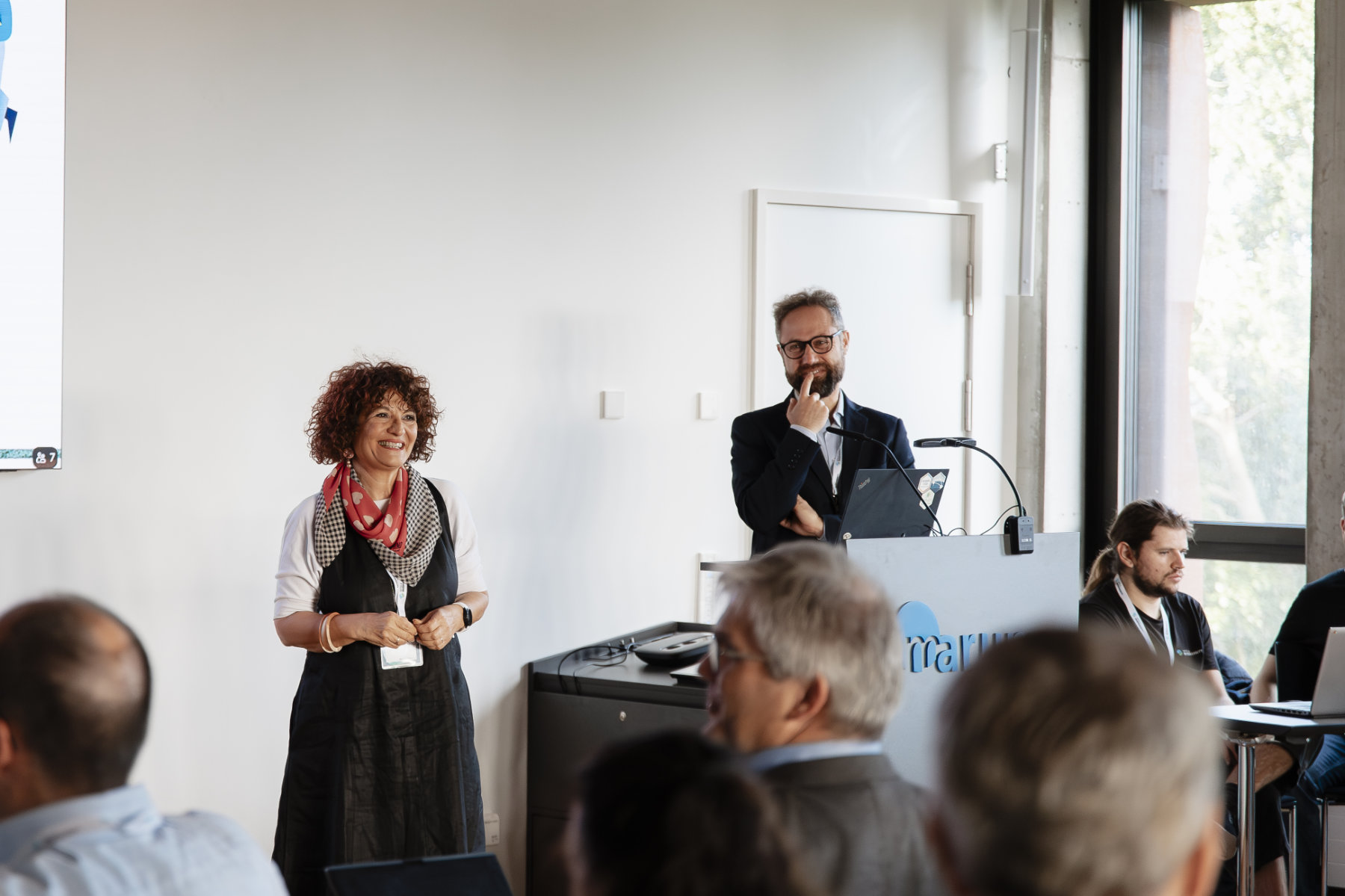
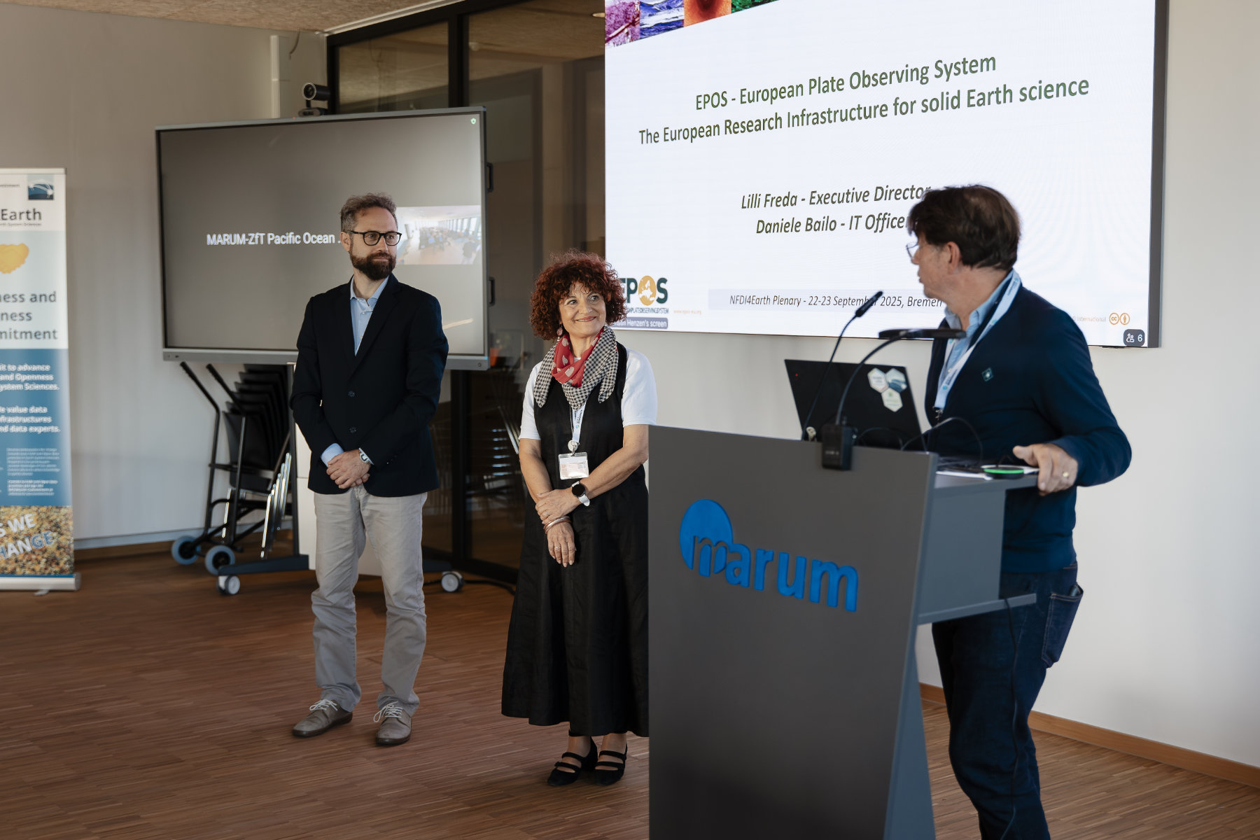
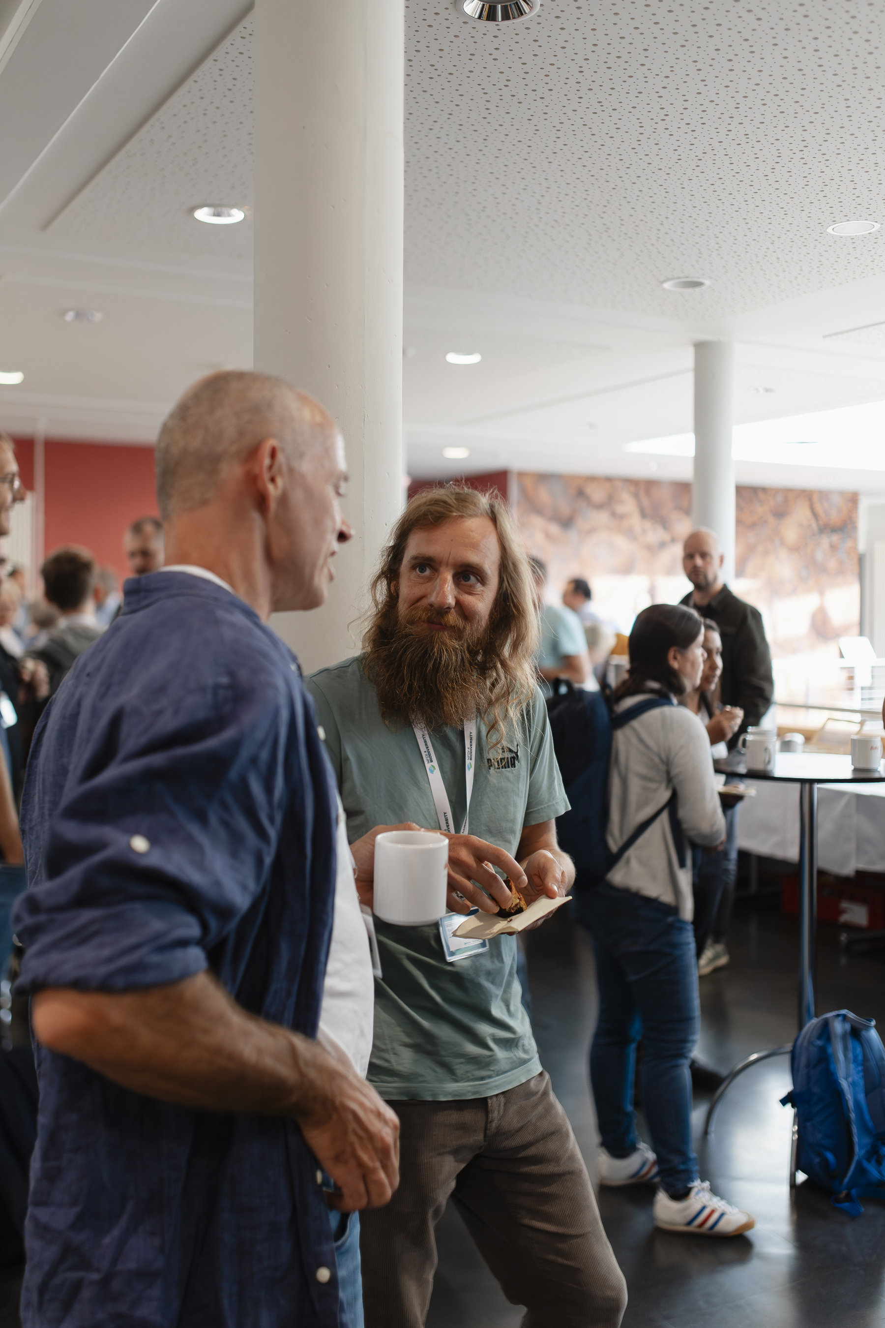
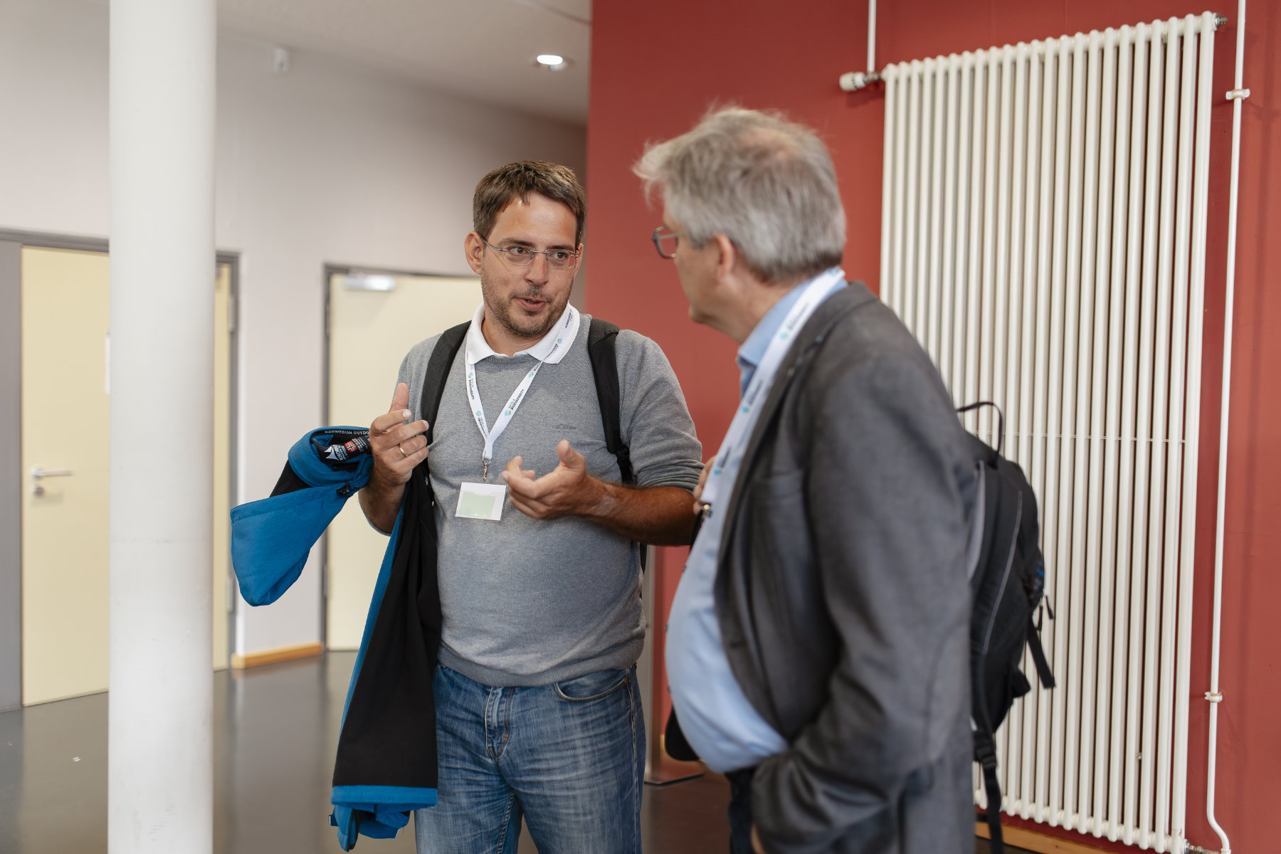
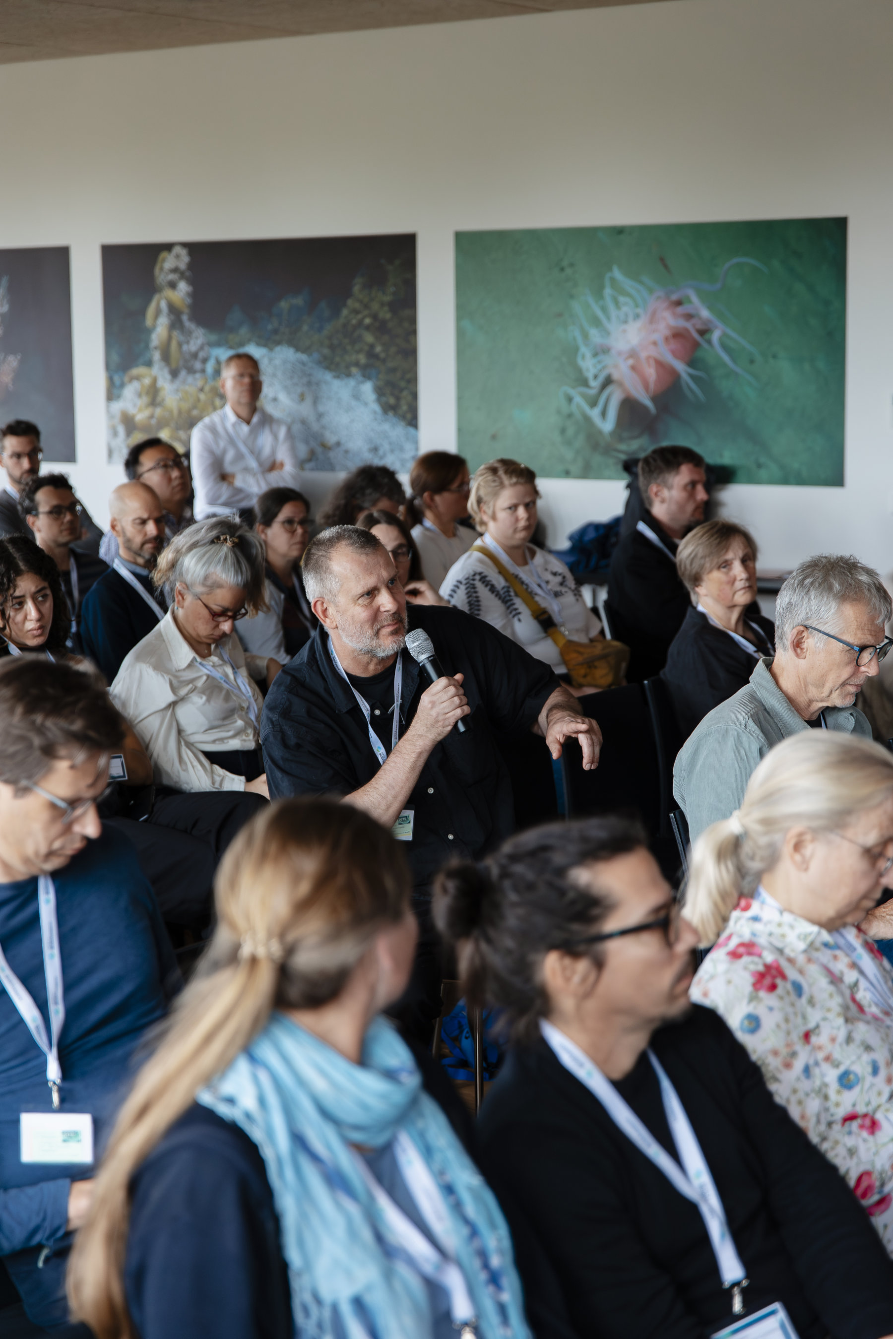
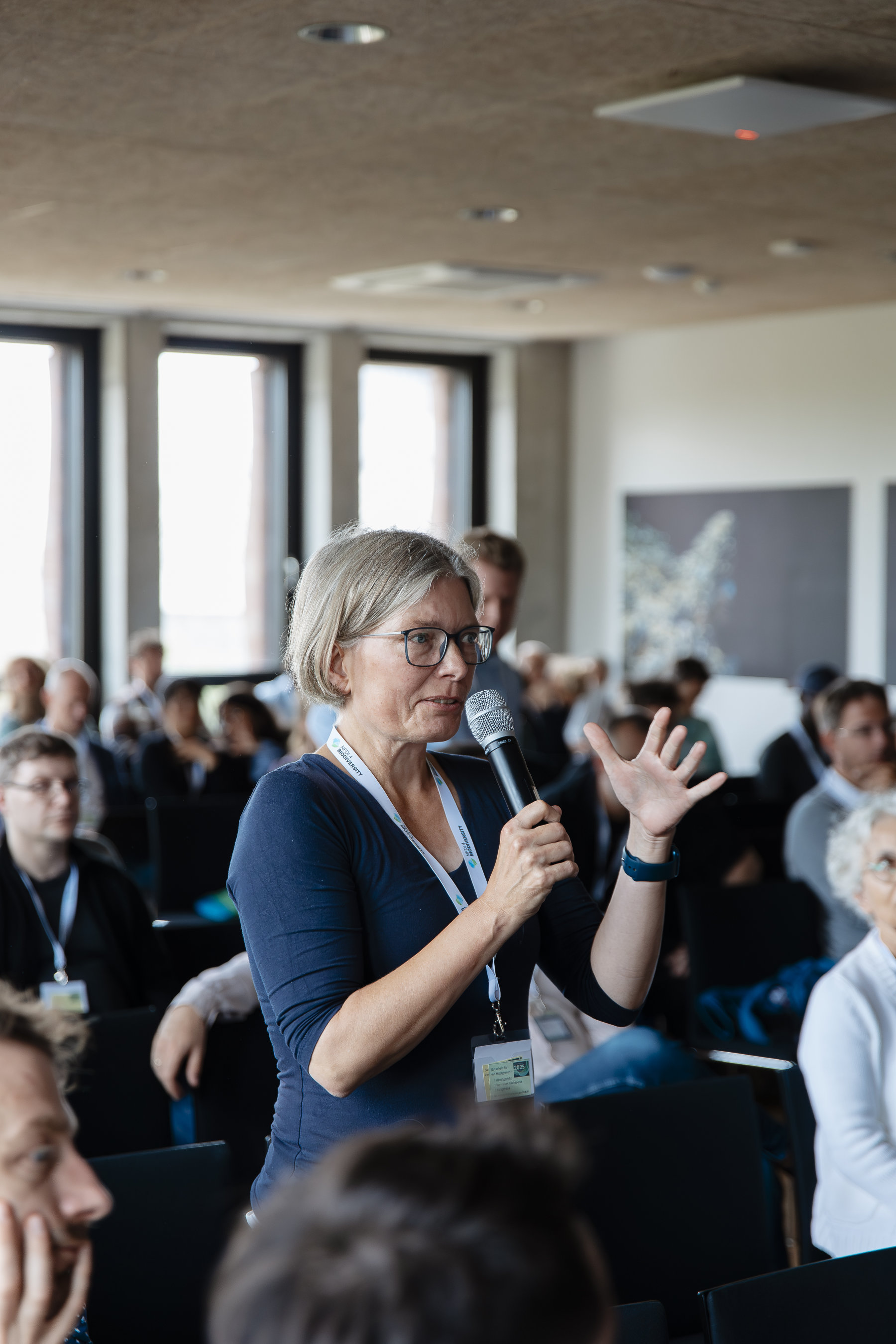
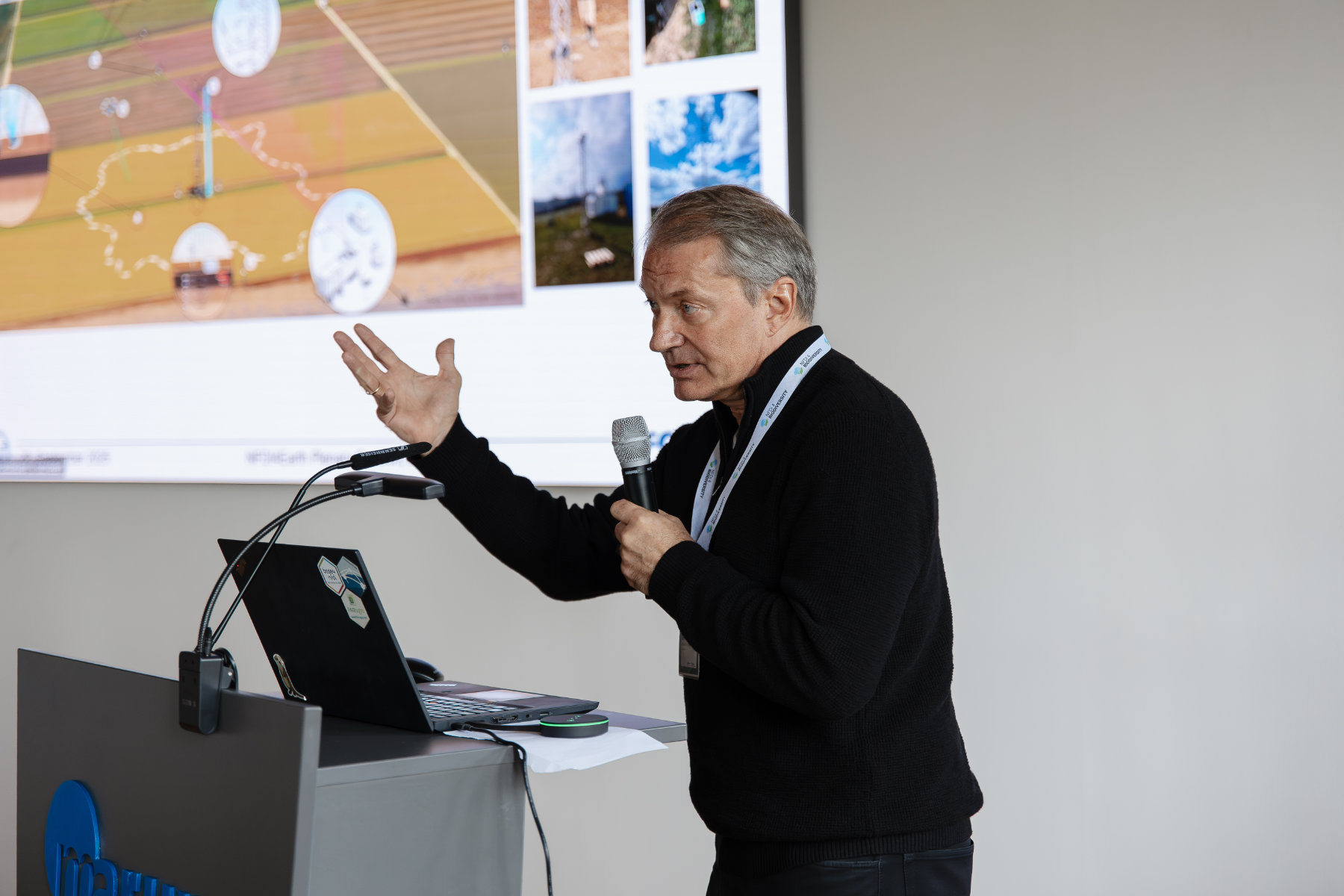
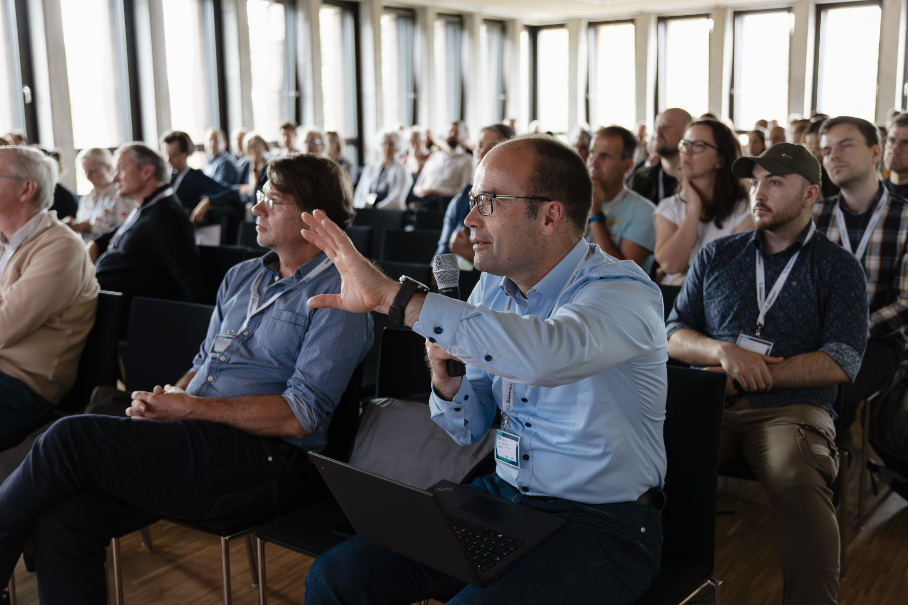
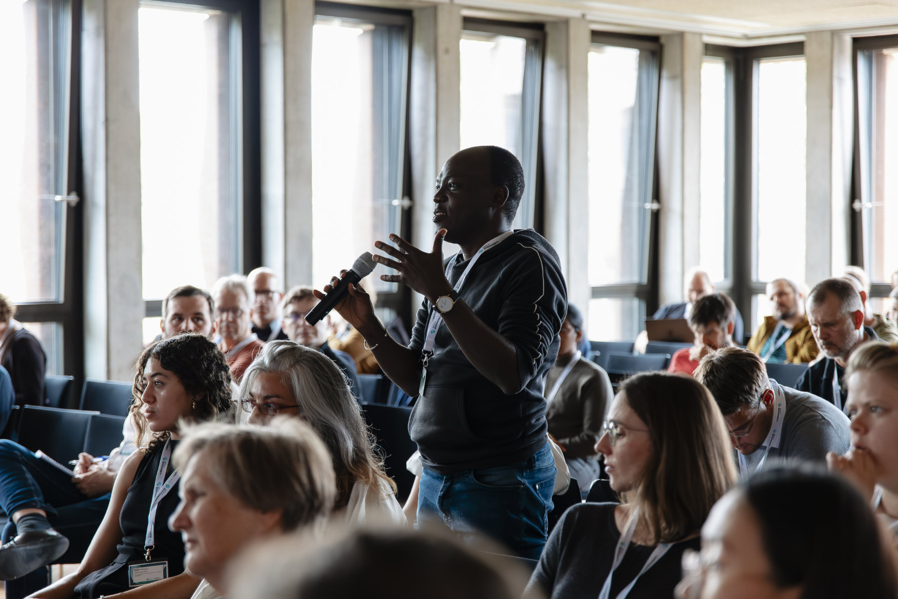
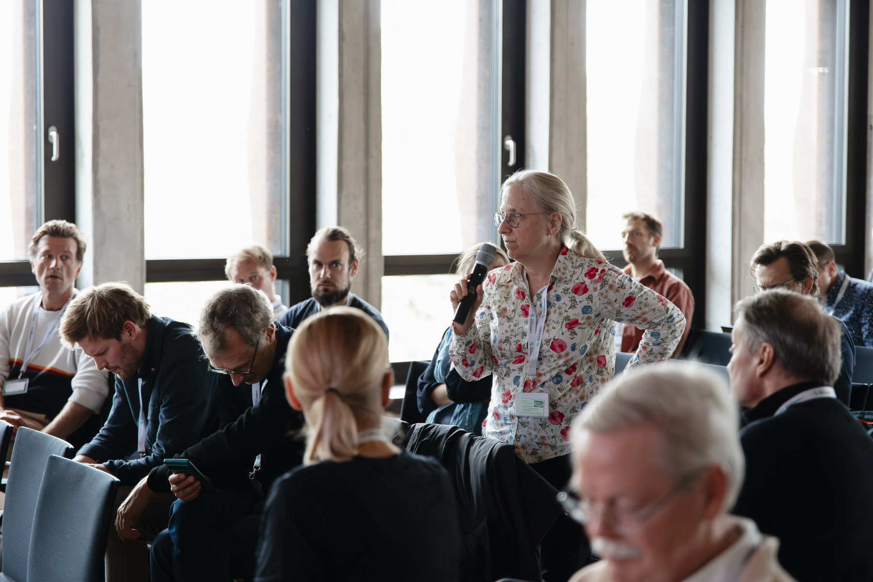
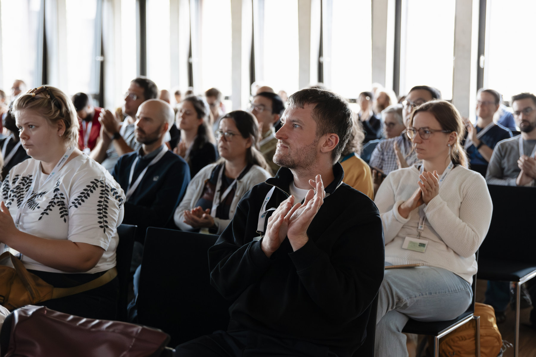
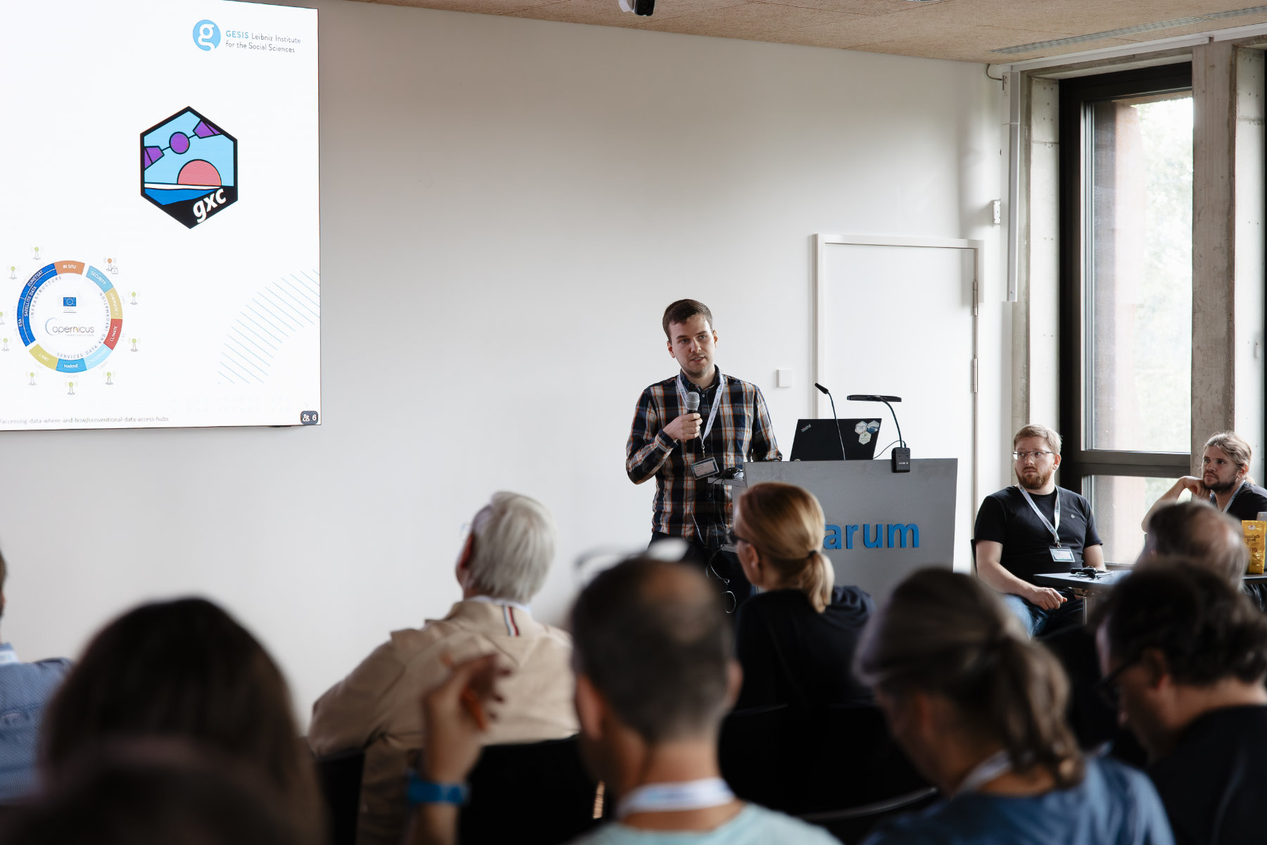
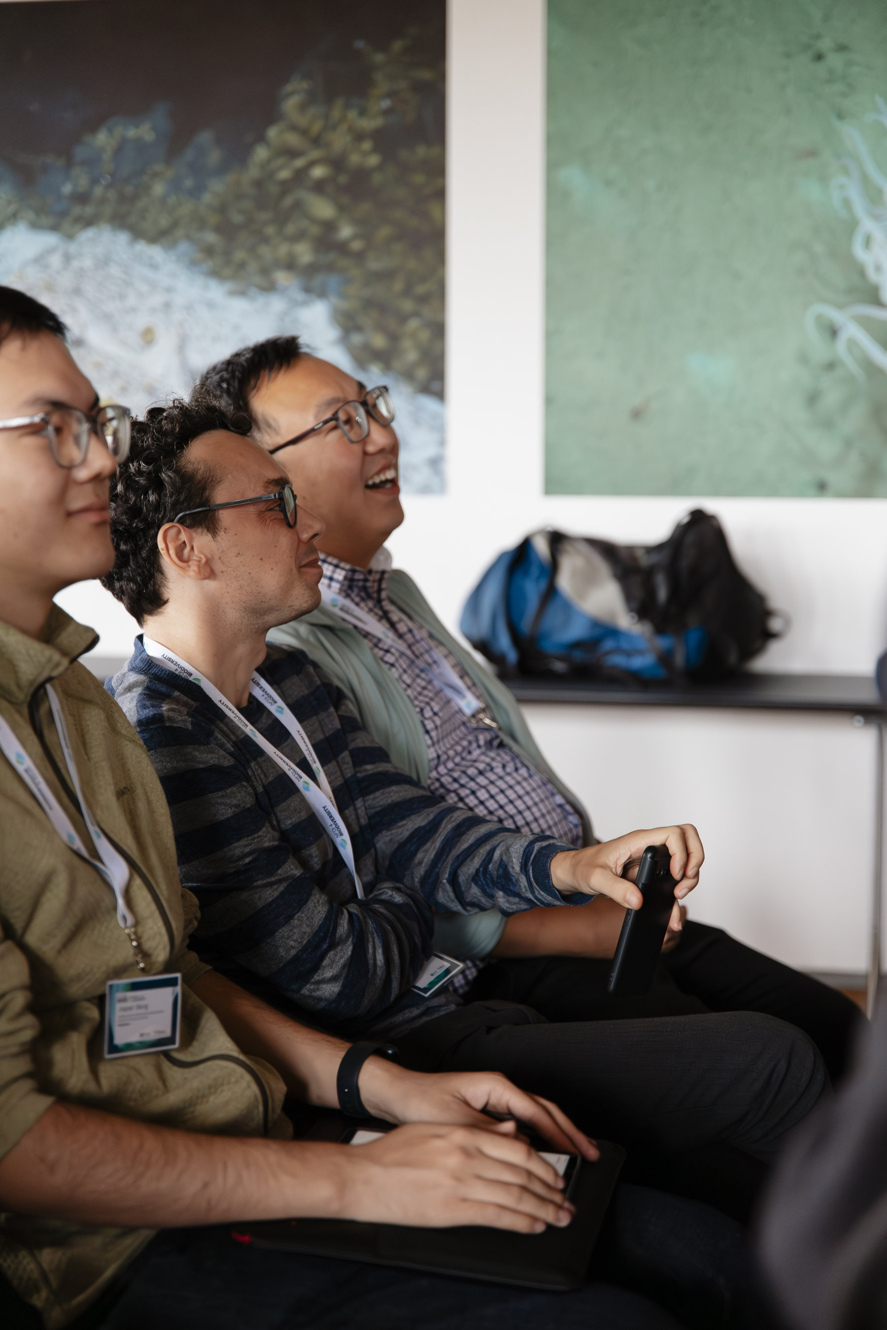
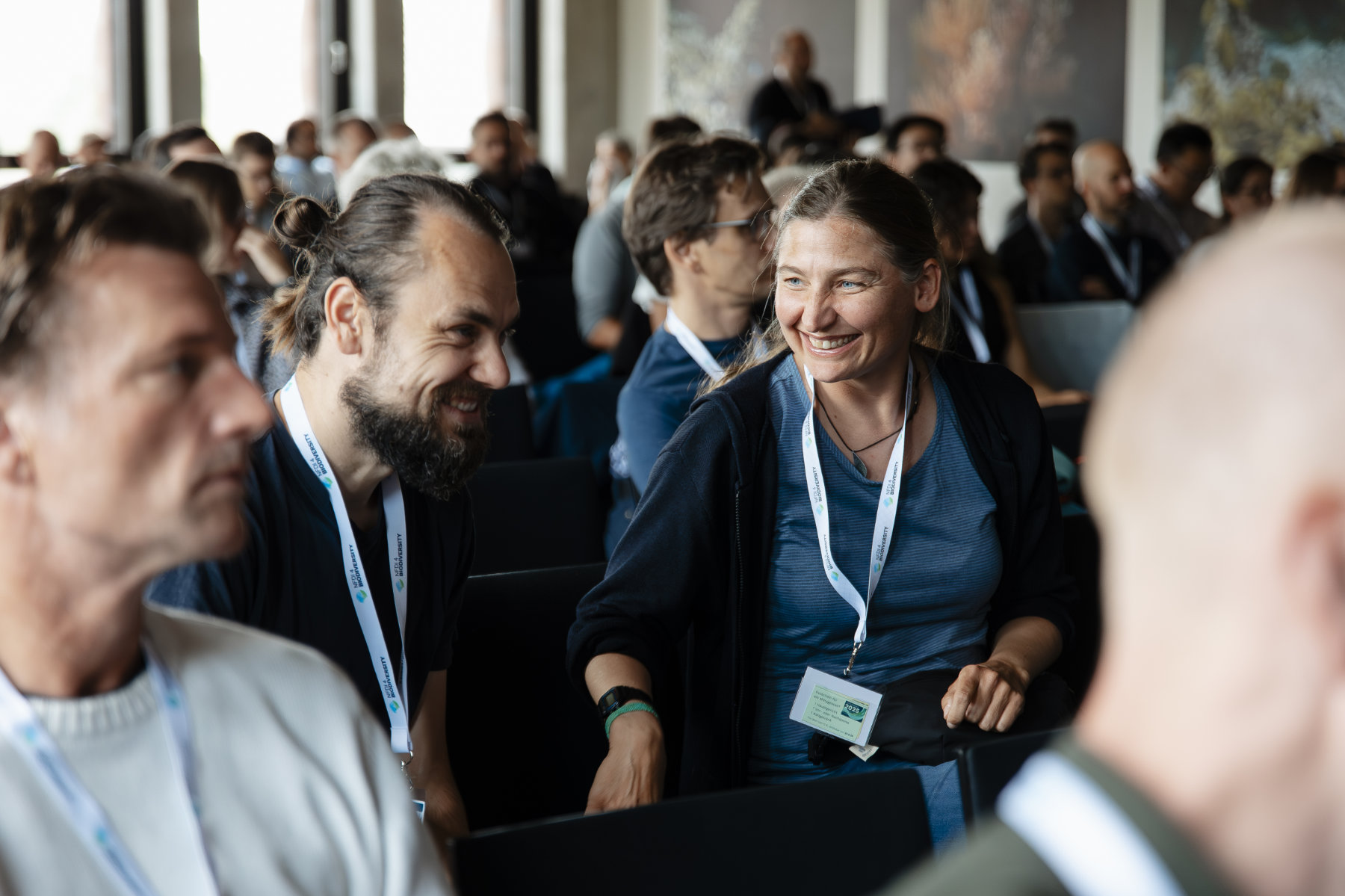
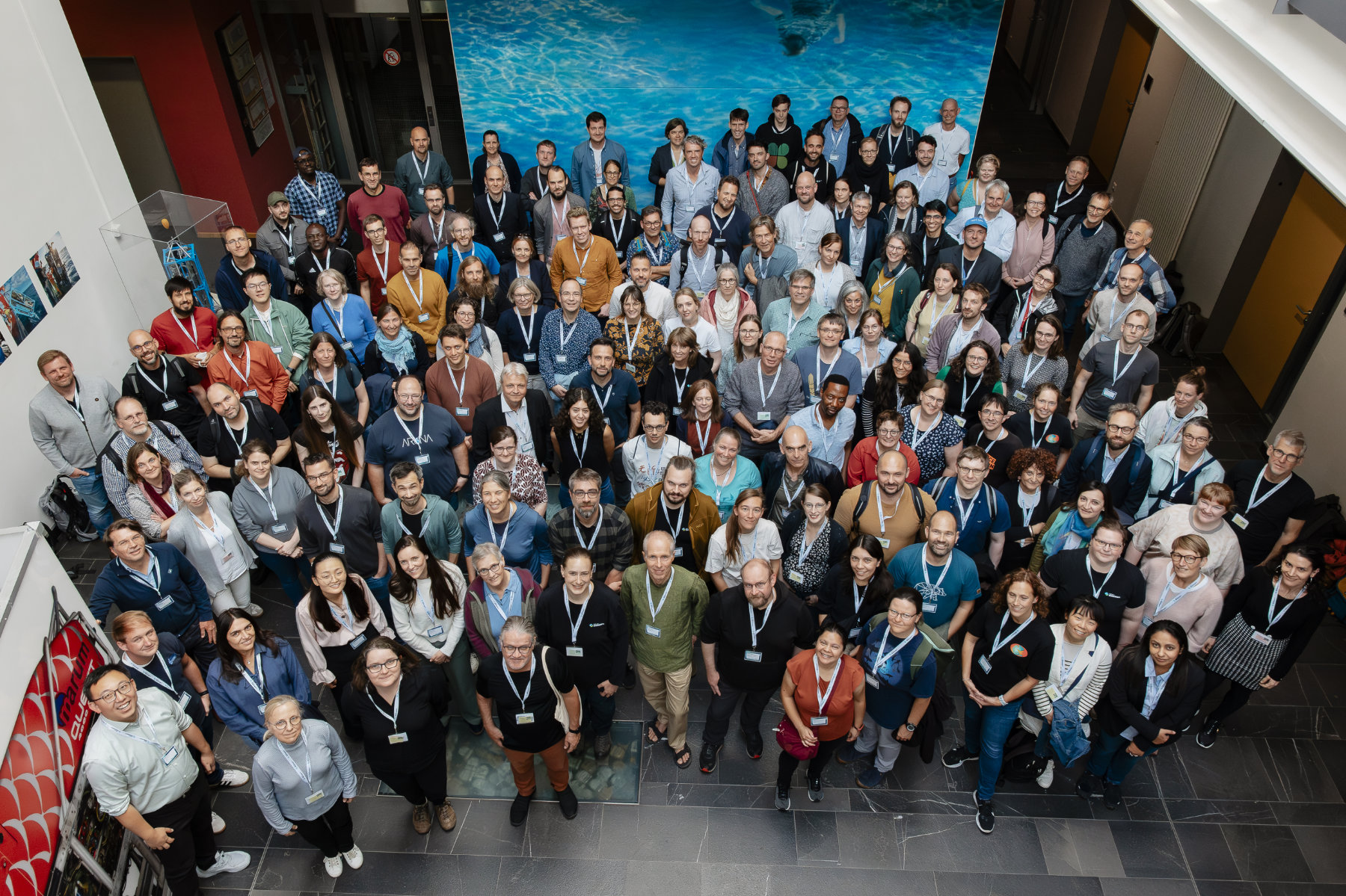
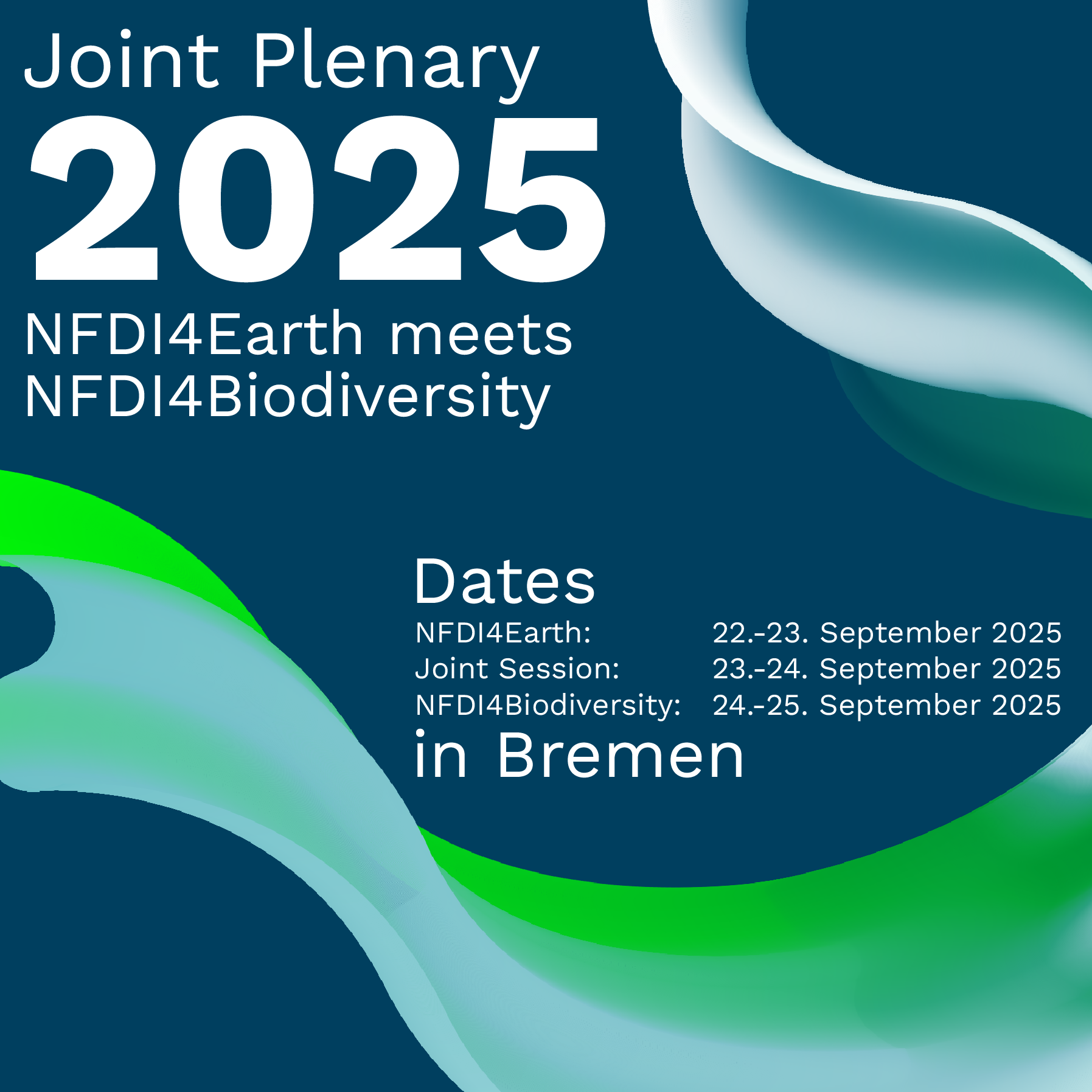
The joint conference of NFDI4Biodiversity and NFDI4Earth in Bremen brought together researchers, data stewards, and practitioners from across the biodiversity and environmental data communities. Over the course of three days, participants were invited to share ideas, explore innovative approaches, and strengthen networks across disciplines and domains.
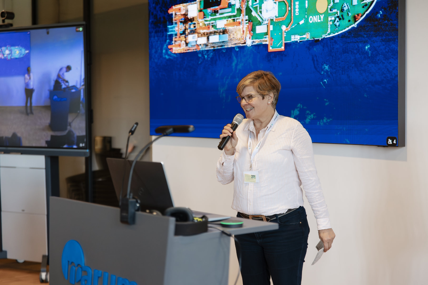
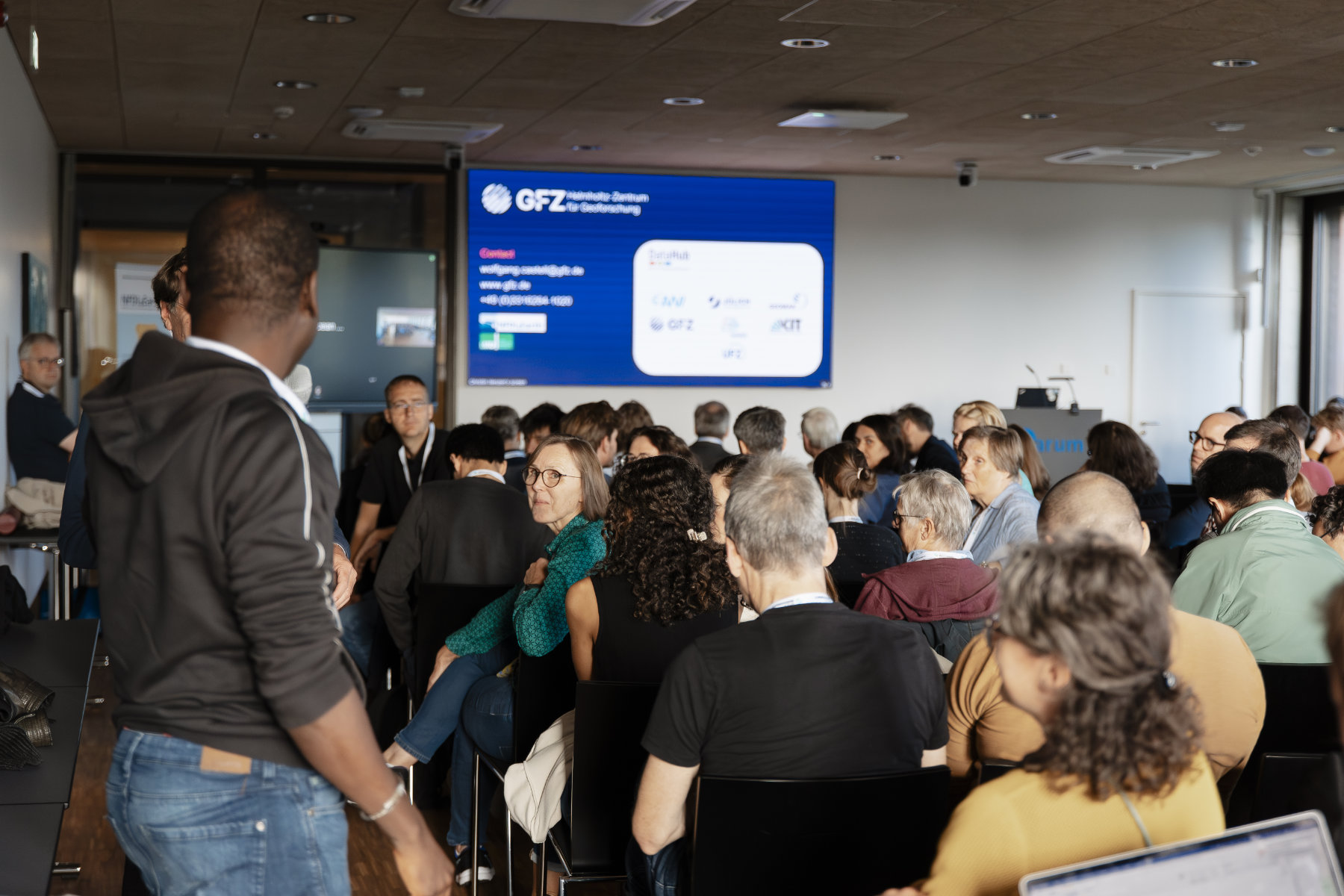
The conference was taking place at the University of Bremen, mainly in the MARUM & Zentrum für Tiefseeforschung (ZfT) buildings.
Alongside an engaging joint program, each consortium hosted its own dedicated sessions before and after the shared component:
We thank all organizers for their efforts and all participants for their valuable contributions!
Education and training in NFDI4Earth – Insights into learning pathways, the OER life cycle, institutional uptake, and certification
This workshop explores educational initiatives within NFDI4Earth, focusing on sustainable, reusable learning materials. We will present our strategies for developing modular curricula and FAIR-published Open Educational Resources (OER), covering the entire OER life cycle from creation to adaptation. Participants will see our educational portal, which offers community-driven courses and interactive materials. We will discuss how structured educational data, combined with technologies like Large Language Models (LLMs), can create truly personalized learning pathways. We will discuss institutional uptake and the integration of these resources into study programs based on initial successful examples. The session includes a live demonstration and hands-on activities, offering practical insights for educators, program leaders, instructional designers, and librarians on navigating the future of higher education.
Reference and benchmarking data – towards creating and providing relevant data for the community
Recent developments in data science methods using AI as well as increased availability of larger amounts of observation data from automated sensor networks and diverse remote sensing product support the need for the creation of high-quality datasets for model benchmarking and referencing. However, there is no clear definition of such datasets, their quality measures or their publication. In this workshop we want to address this topic by first hearing examples from some NFDI4Earth pilots how their projects support or reuse these types of datasets. The second part of the workshop will be a panel discussion with the representatives of these pilots as well as experts on benchmarking and reference datasets from within and outside NFDI4Earth.
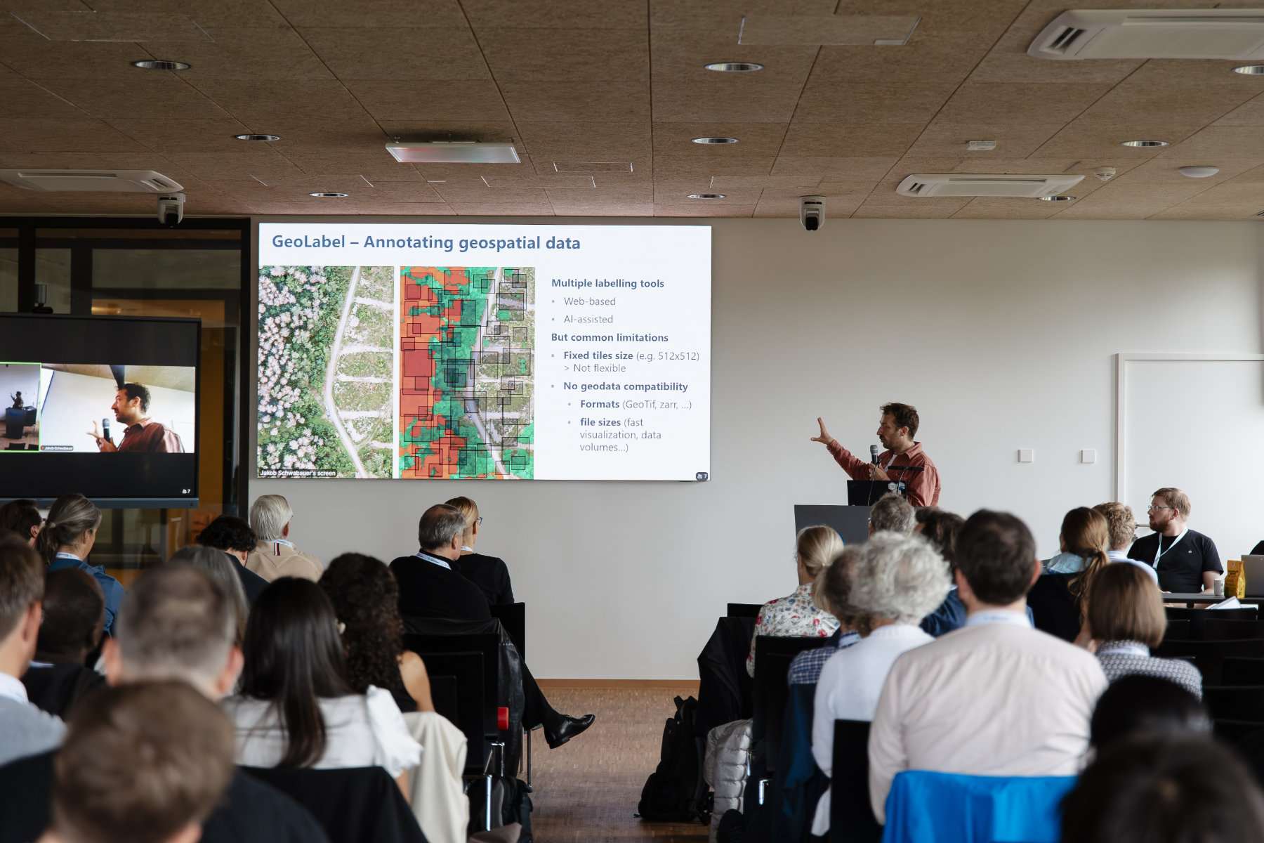
From Data to Interactive Maps: Visualization Workflows with Geospatial Data from PANGAEA – Part I (Python workshop, laptop required)
Geospatial data plays a critical role in Earth and environmental sciences. To unlock its full value, researchers need effective tools to retrieve, analyze, and visualize the data. This compact two-part workshop introduces Python-based workflows for working with spatial datasets from the PANGAEA data repository, using Jupyter notebooks. In Part 1, participants will learn how to retrieve and prepare scientific environmental datasets including raster and vector data using Python, based on a reproducible pipeline developed with data from PANGAEA. The session covers structured data access, preprocessing, and organization to support data visualization. In Part 2, the aim is to visualize the geospatial datasets by creating high-quality maps. Participants will use popular Python libraries such as matplotlib, cartopy, geopandas, and plotly to produce both static, publication-ready visualizations and interactive web-based maps. These tools support deeper data exploration and enhance communication of complex spatial patterns to scientific and public audiences alike.
Quality time: Rethinking Data Trust in the Age of AI and (Cross-Domain) Collaboration
In an era of exploding data volumes, cross-domain research, and the rise of AI, our established approaches to data quality are facing unprecedented challenges. How do we build a bridge from the proven practices within our disciplines to a shared, future-proof vision of data trust? This session addresses this question by exploring the balance between continuity and innovation—how we can adapt established principles with new technologies to meet the challenges of tomorrow. To explore this question, our format combines three lightning talks to spark new thinking with a dynamic World Café.
Label and Commitment – Joint efforts towards FAIR and Open services and practices
The NFDI4Earth Label and the NFDI4Earth FAIRness and Openness Commitment complement each other in strengthening transparent and sustainable
practices in Earth System Sciences. The Label is designed as a
lightweight, domain-specific framework that helps repositories
demonstrate transparency on core aspects of FAIRness, to build trust and
improve interoperability. The Commitment defines shared values and
measures that support individuals and institutions in promoting
FAIRness, openness, and trust through better research data management
practices.
This workshop invites researchers, service providers,
research institutions, and data experts to better understand the
concepts of both the Label and the Commitment. We share our experiences
and jointly explore the challenges and opportunities in implementing the
Label and the Commitment. Together, we will identify concrete ways
forward to strengthen FAIR and open services and practices in Earth
System Sciences institutions using these two instruments.
The workshop will be moderated by members of the NFDI4Earth Label and Commitment teams.
From Data to Interactive Maps: Visualization Workflows with Geospatial Data from PANGAEA – Part II
See Part I above.
Metadata – Towards common recommendations and schema crosswalks across Earth and Environmental Consortia
This workshop brings together Earth and environmental science consortia to discuss strategies for metadata harmonization. Building on the current NFDI metadata approaches, we aim to collect feedback from consortia, identify overlaps and divergences in domain-specific metadata practices, and explore opportunities for alignment. Presentations will highlight ongoing initiatives such as the NFDI4Earth Knowledge Hub. A central discussion will address how we can collect concrete metadata examples of similarities and gaps across communities within a thematic NFDI cluster.
Strategy Earth System Sciences
The workshop Earth System Science Strategy brings together diverse perspectives on the future of Earth System Science (ESS). Discussions will highlight not only research priorities but also the critical role of education in shaping the next generation of ESS researchers. A central theme that emerges is how curricula must evolve to equip students with the interdisciplinary knowledge, methodological skills, and integrative thinking required to address complex Earth system challenges.
LLM4RDM: Large Language Models meet the Research Data Lifecycle
Large Language Models (LLMs) offer researchers new opportunities to improve efficiency by supporting tasks such as content generation, summarization, translation, and classification. In this workshop, participants will collaboratively identify critical areas where LLMs can provide valuable research data management (RDM) support in the Earth System Sciences and Biodiversity Sciences. The discussion will span the entire research data lifecycle - from collection and analysis to publishing, reviewing, and long-term archiving.